Even as central Mainers dug out from some 2 feet of snow or more on Tuesday, a day after blizzard conditions pummeled the region, forecasts called for around another foot of snow to accumulate Wednesday.
The latest storm is forecast to start in the morning in the Augusta-Waterville area and continue all day and into the evening, unleashing 12 to 13 inches of snow in the region, according to the National Weather Service in Gray.
That’s on top of 2 feet of snow brought by a big snowstorm Sunday night into Monday that created blizzard conditions, shutting down schools and businesses, and made for treacherous driving on roads and highways.
Four Maine towns — Hudson, Bradford, Kenduskeag and Glenburn — recorded 40 inches of snow, according to the National Weather Service. In eastern Maine, Whiting reported 38 inches and Jonesboro, 36 inches.
In central Maine, the area around Starks seemingly topped the snowfall total list after the blizzard, with the rural Somerset County town recording 30 inches.
The weather service office in Gray said Wednesday’s snowfall will start off light in the morning, getting heavier as it continues throughout the afternoon and evening, meteorologist Eric Schwibs said. The snow will taper into snow flurries by Thursday morning, he said.
“My biggest concern with this is people who don’t clear their roofs,” Schwibs said. People should also clear around the heating vents on the sides of their homes to prevent carbon monoxide poisoning, he said.
Meteorologist Stacie Hanes, also at the weather service, said the region remains in “a very active storm track now with a persistent upper air trough that is funneling these storms from the Great Lakes region into the Northeast.”
Several area schools remained closed Tuesday, including Waterville-based Alternative Organizational Structure 92 and Oakland-based Regional School Unit 18, even after shutting down Monday. Local school officials said Tuesday they were still monitoring the forecasted timing of the forthcoming storm and hadn’t yet made any decisions about school for Wednesday.
‘A LONG NIGHT’
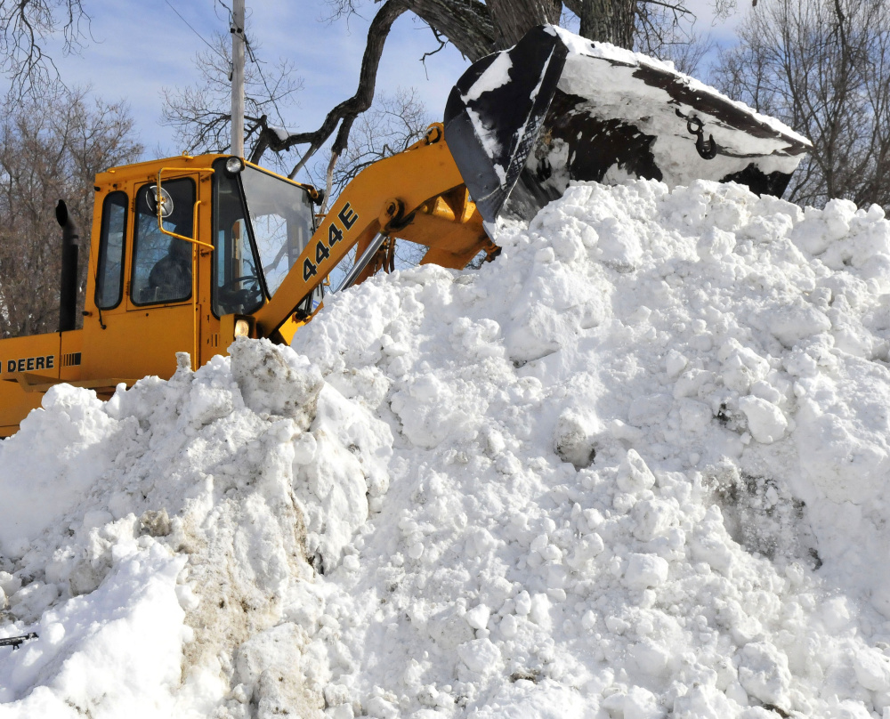
On Tuesday morning, the effects of Monday’s storm and 30 inches of powder were on display in Starks, as residents and town officials dug themselves out ahead of an upcoming storm.
Starks Fire Chief Bill Pressey was out at the intersection of Chicken Street and Route 23, moving snow from the streets in advance of the pending storm. He said he and the employees of the Stakes Highway Department had been out, first plowing and now removing snow, too long to figure out at that moment Tuesday. And while one town truck did break down early on, they had a spare to keep going.
“It was a long night,” Pressey said.
Most Starks residents agreed with the weather service’s estimate of 30 inches of snow but were grateful the snow was dry and powdery, making it easier to shovel and plow.
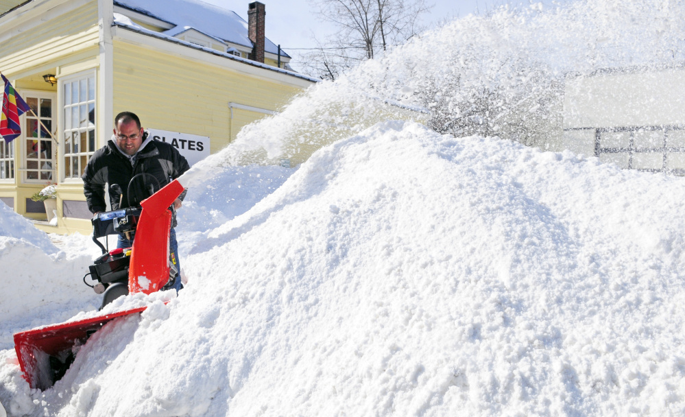
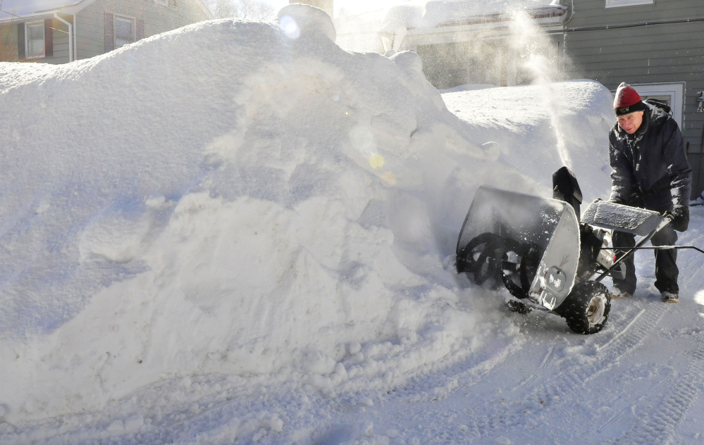
Glenn Conners, who was helping shovel his mother-in-law’s home on Ricci Road, said it was hard to tell just how much snow actually had fallen, but said members of his family had said it was the most snow they had ever seen. Conners estimated he had been working to clear the driveway for about an hour that morning.
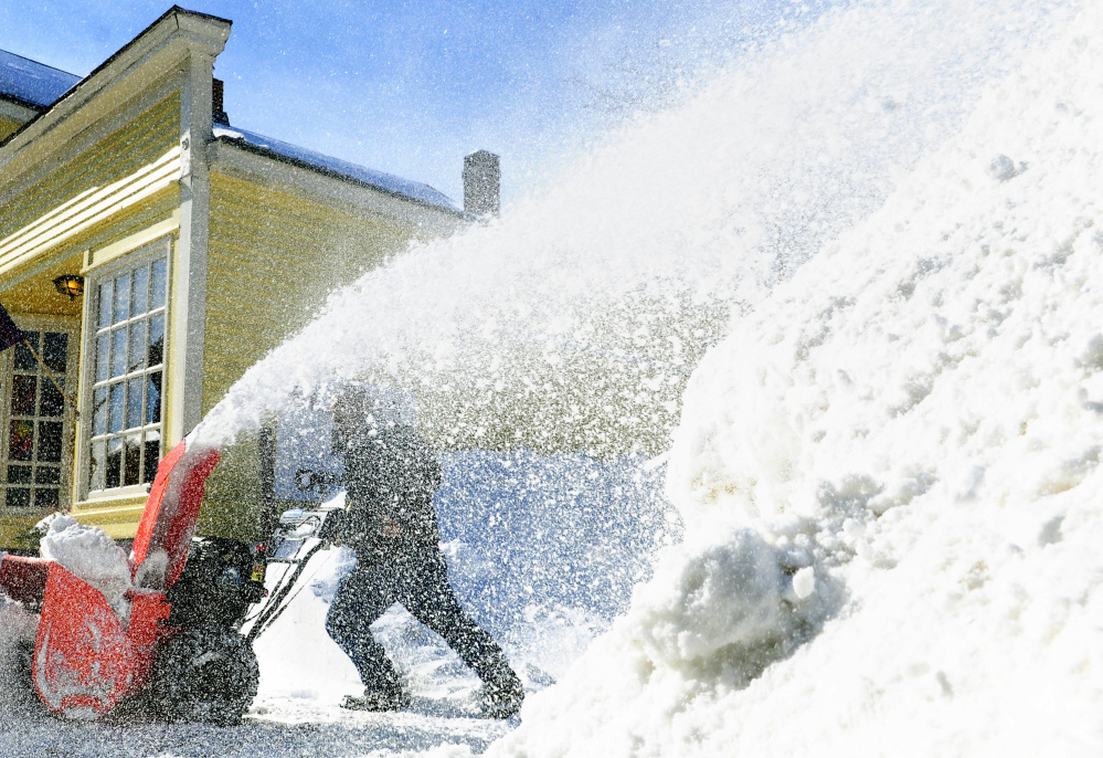
“At least it’s not the wet, heavy stuff,” he said, taking a break from clearing the driveway with a snowblower.
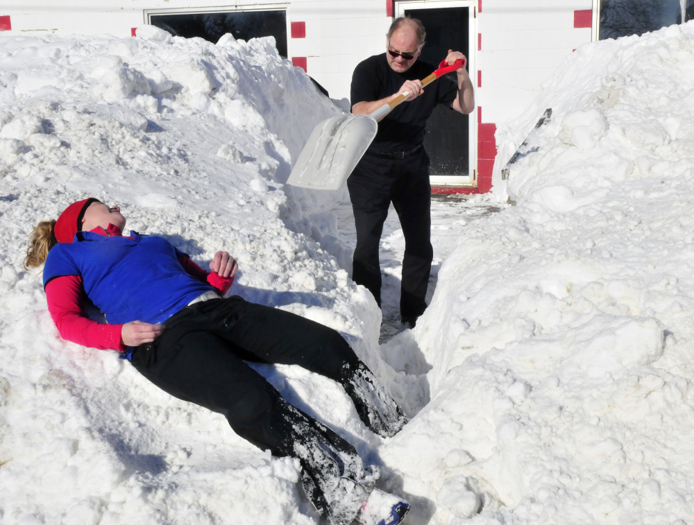
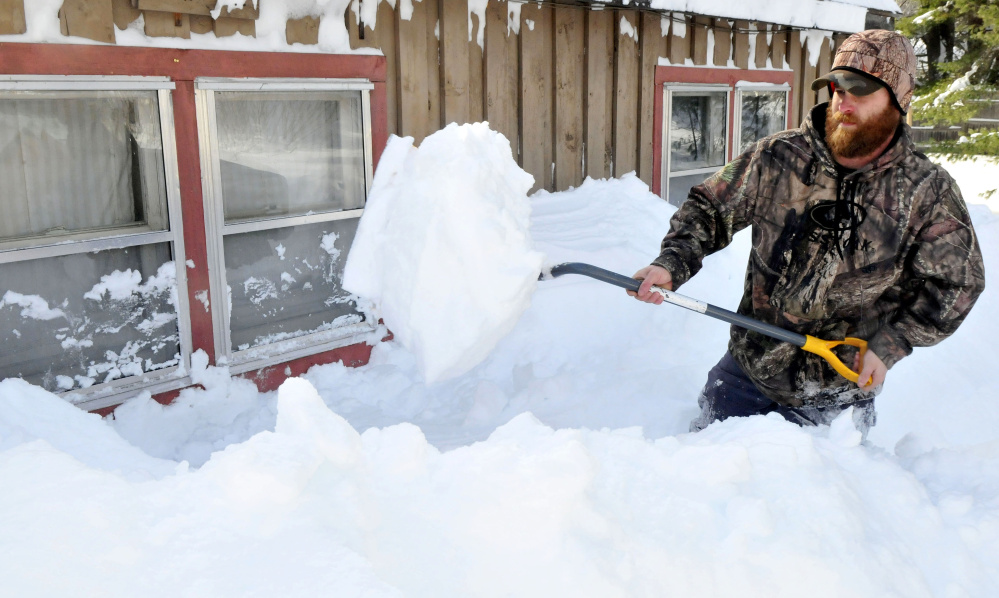
Ryan Andrews, who lives on Anson Road, had just finished getting snow off his roof and was beginning the shovel out the piles of snow next to windows late Tuesday morning.
“We got some serious snow, that’s for sure,” Andrews said, taking a break from shoveling.
Andrews said a total of 30 inches of snow wouldn’t surprise him at all. He used the snowblower once during the night and had been out for four hours Tuesday morning clearing his yard. He said the temperature Tuesday was helpful — in the mid-20s — because had it been warmer, Andrews said the snow might have begun to melt and become heavier. However, that was a small blessing, as Andrews still had plenty of shoveling ahead of him.
“I’m overwhelmed with it,” Andrews said.
MORE TO COME
Monday’s blizzardlike conditions wreaked havoc on most of the state, with visibility reduced to less than a quarter-mile and sustained wind of 35 mph or more. Snowdrifts often made pockets of snow that were much higher than 2 feet, and the storm forced closures all across the state, including hundreds of schools, the state government, businesses and municipal offices. The lack of visibility resulted in some towns calling their plow truck drivers off the roads.
The storm began Sunday night and lasted through the day and into the night Monday, and by Tuesday morning the sun was back out.
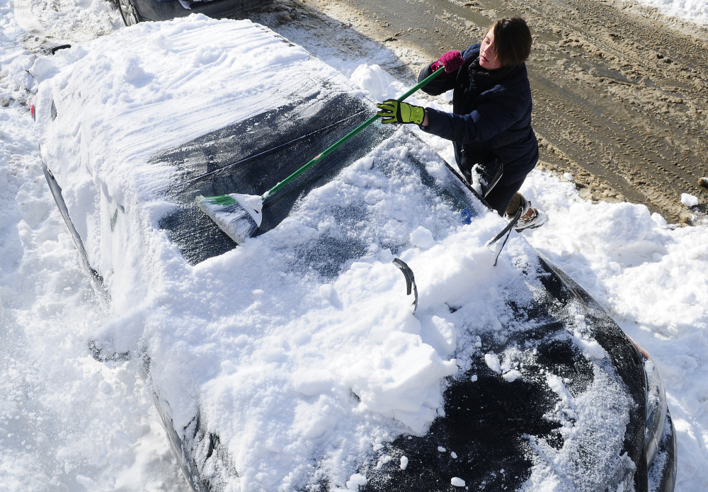
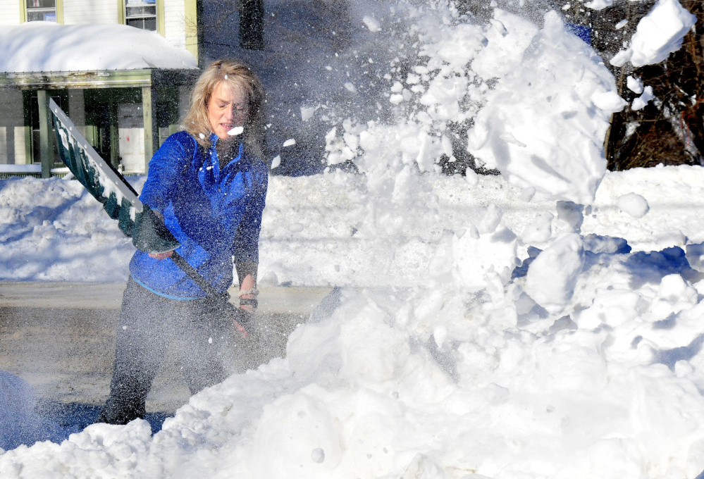
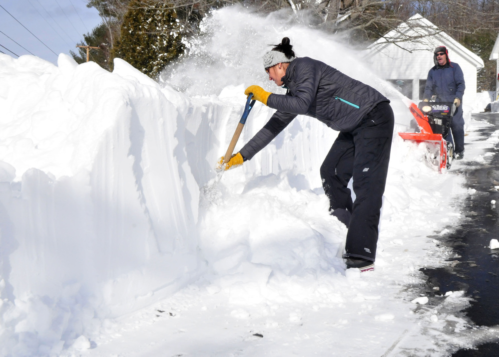
Starks residents, like residents across the state, used the day as an opportunity to attempt to dig themselves out.
Brian Meagher, who owns Westview Farm on Starks Road, said it was difficult to tell how just how much had fallen as he worked to move snow from the area.
“It’s bad,” Meagher said. “I walked down my driveway (and the snow) was up to my waist,” he said, estimating there could have been up to 40 inches of snow in his driveway.
Wednesday’s storm was expected to begin in the morning and last into Thursday and could dump around a foot in the area. A number of school districts remained closed Tuesday as towns kept working to dig out from the last storm.
The weather forecast for Wednesday’s storm was updated to predict anywhere from 8 to 18 inches across central Maine, with the highest totals starting as far inland as Augusta and Lewiston, heading west and north, into some areas of Franklin and Somerset Counties.
And Starks was right within the section slated to get the heaviest amounts, of 12 to 18 inches.
Meagher, the Starks farmer, took a philosophical approach Tuesday as he hauled snow with his tractor. Overall the snowfall hasn’t been that bad, and it’s always work to clean up afterward, he said.
“We’ve had this before,” Meagher said.
Staff writer Madeline St. Amour contributed reporting.
Colin Ellis — 861-9253
cellis@centralmaine.com
Twitter: @colinoellis
Send questions/comments to the editors.





Comments are no longer available on this story