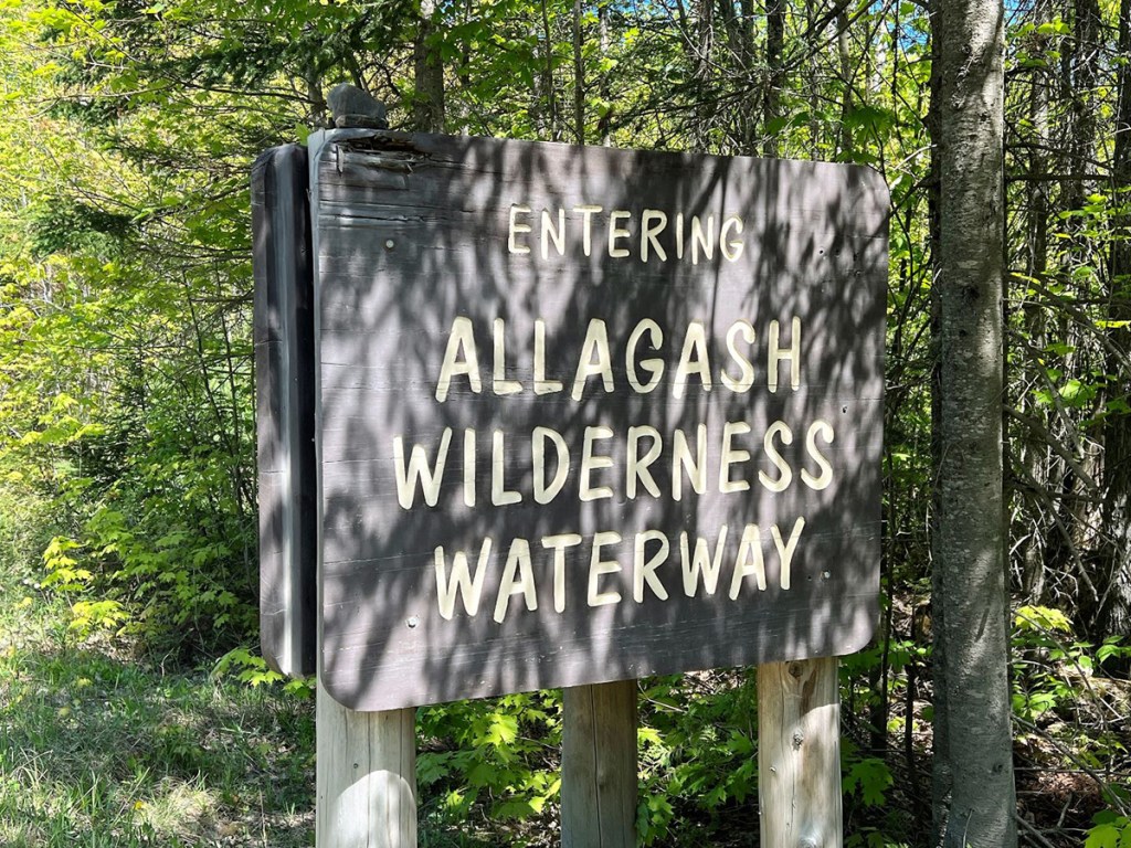
The Allagash Wilderness Waterway is one of Maine’s most iconic natural landscapes, right up there with Katahdin and Baxter State Park, Acadia National Park, Moosehead Lake, West Quoddy Head and select others.
The 92-mile river system flows north across the county lines of Piscataquis and Aroostook from Telos Lake to the village of Allagash through the vast commercial timberlands in the northwest corner of Maine.
Mention the word “Allagash” and most Mainers will conjure up images of paddling a canoe along a winding river through the deep woods, moose feeding along the banks, laughing loons out on a big lake, and bald eagles soaring high above. And simple campsites with good food and good friends around a roaring blaze, impossibly dark night skies dotted with a billion stars, and silence so profound you can actually hear it.
Each year, thousands travel to the Allagash Wilderness Waterway to recreate on its pristine series of lakes and ponds, rivers and streams. Canoeing and boating, camping, fishing, bird and wildlife watching, photography, hunting, and visiting historical sites are popular activities. Less well known, however, are the hiking trails to the fire towers atop Allagash Mountain and Round Pond Mountain, which reward with outstanding panoramic vistas.

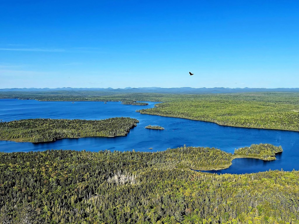
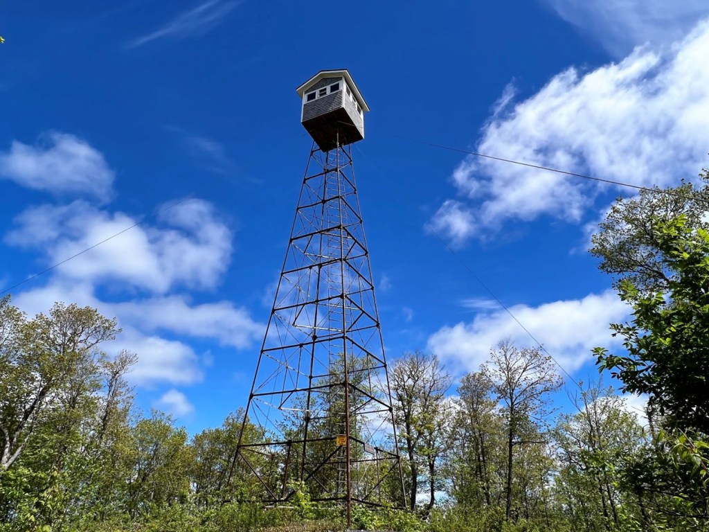
The 26-foot fire tower atop Allagash Mountain offers one of the finest panoramic views anywhere in Maine. Carey Kish photo
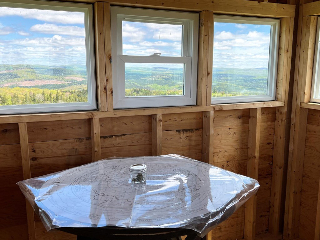
Allagash Mountain rises prominently above the southwest shore of Allagash Lake, the headwaters of the Allagash River. There’s no direct vehicle access to the lake, so hikers must walk in from the gate on Allagash Mountain Road (4 miles round trip). From the ranger station, it’s a steep, steady climb in classic fire warden trail style to the tower atop the 1,770-foot peak. Climb up into the cab for a 360-degree spectacle you won’t soon forget.
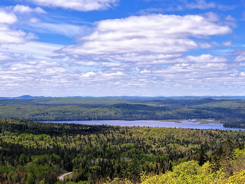
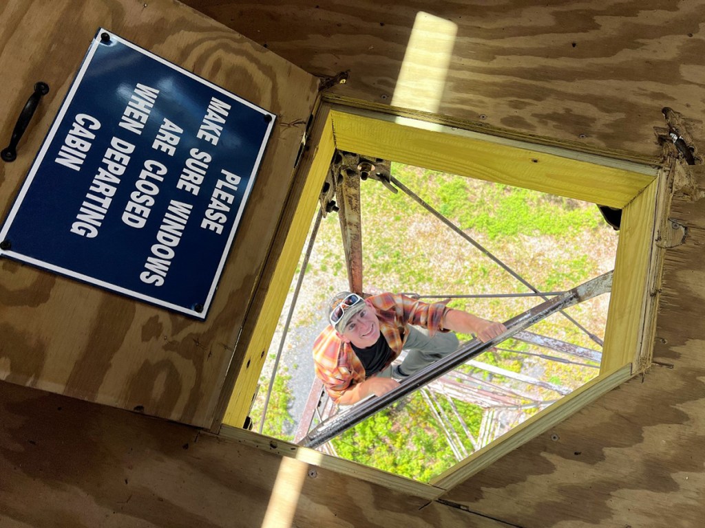
“It’s the best mountaintop view in the entire state,” said Mark Deroche, superintendent of the Allagash Wilderness Waterway. “You could be in the Yukon wilds for all you know. There’s no human-made anything in sight, just woods and waters as far as you can see.” The 26-foot steel fire tower was erected in 1924, replacing the wooden one built just eight years earlier. In 2020, the state replaced the deteriorating cab atop the structure with a new, historically accurate model.
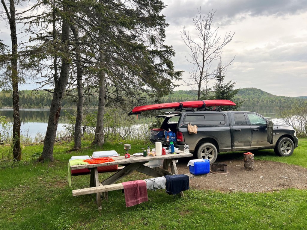
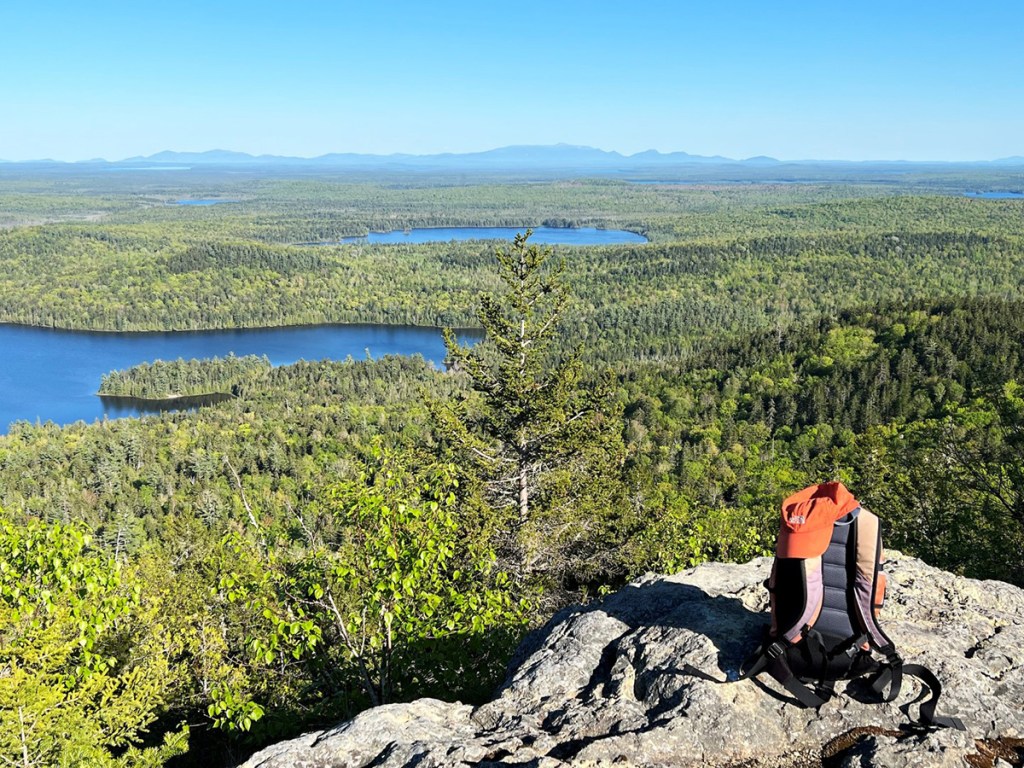
Round Pond Mountain can be accessed only by water. From Henderson Bridge, you’ll launch your canoe or kayak and paddle downstream on the Allagash River to Round Pond, then across the pond to the Tower Trail campsite and trailhead (2.4 miles). The gradual hike is 2.5 miles through the woods to the 65-foot tower (built in 1946) on the 1,159-foot summit. Like Allagash Mountain, a new cab was fastened to the tower’s top in 2020.

Superintendent Mark Deroche calls the Allagash Wilderness Waterway “the ‘Mona Lisa’ of Maine, vast, remote, unique.” View it from the fire tower atop Allagash Mountain and you’ll see why. Allagash Lake is in the foreground. Carey Kish photo
The breathtaking vista from Round Pond Mountain ranges far and wide over the seemingly endless expanse of Aroostook County forestlands, along the course of the Allagash Wilderness Waterway corridor, and from the mountain peaks of Deboullie Public Lands to Katahdin and its neighbors in Baxter State Park. Closer in, Round Pond dominates the view. Make your trip an overnight with a pleasant stay at the Tower Trail or one of the other Round Pond campsites.
The Allagash Wilderness Waterway was established by the Maine legislature in 1966 to preserve, protect and enhance the wilderness character of the Allagash River region. The waterway received further protection in 1970 when it was designated the first state-administered component of the National Wild and Scenic Rivers System by the U.S. Department of the Interior.
“There’s nothing like the Allagash in the lower 48 states east of the Mississippi. It’s 60 miles from a paved road, and it’s that remote and wild character that makes it such an exceptional place,” Deroche said. There’s a mystique to the Allagash, and visitors realize that they are part of something really special. It’s the ‘Mona Lisa’ of Maine, vast, remote, unique.”

The Tower Trail campsite on Round Pond is the trailhead for the Round Pond Mountain Trail. Carey Kish photo
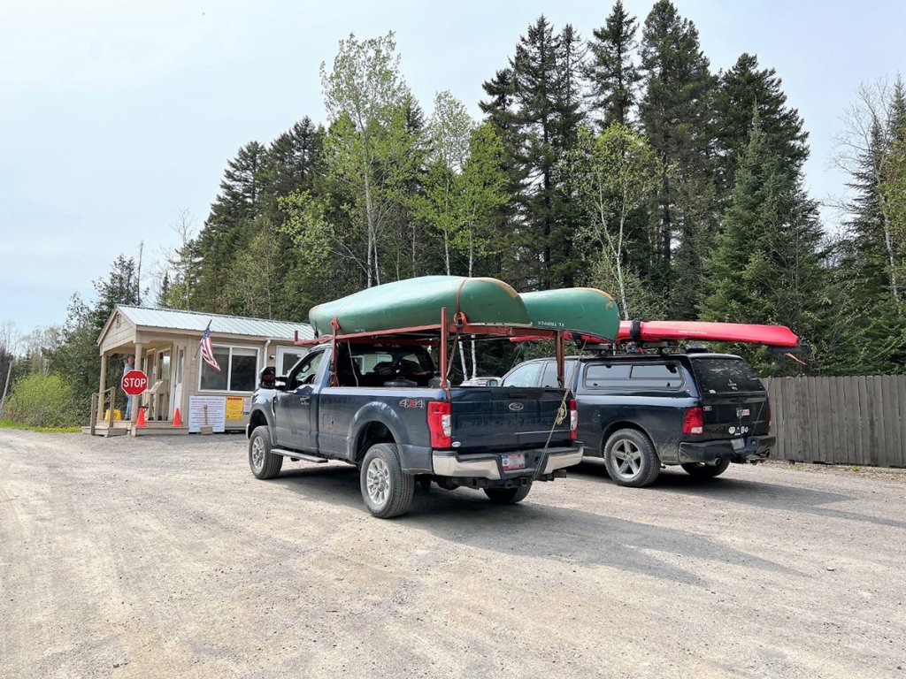
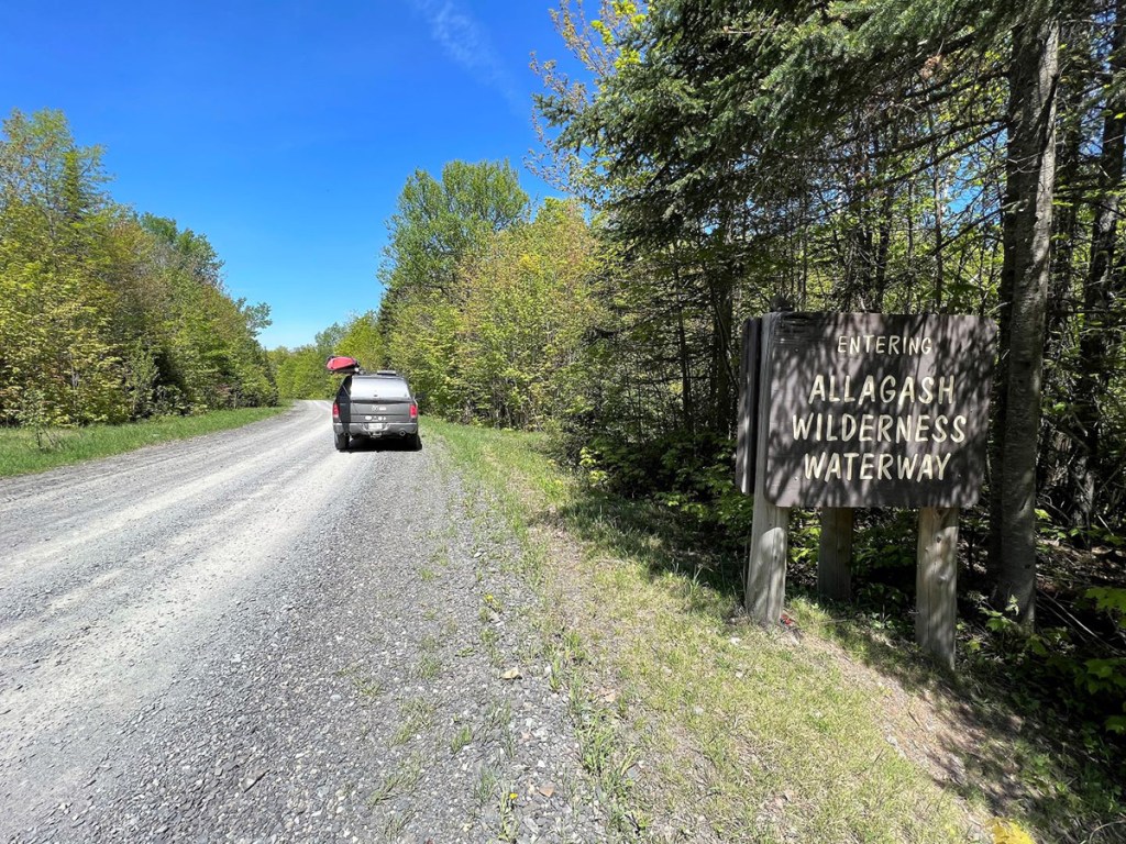
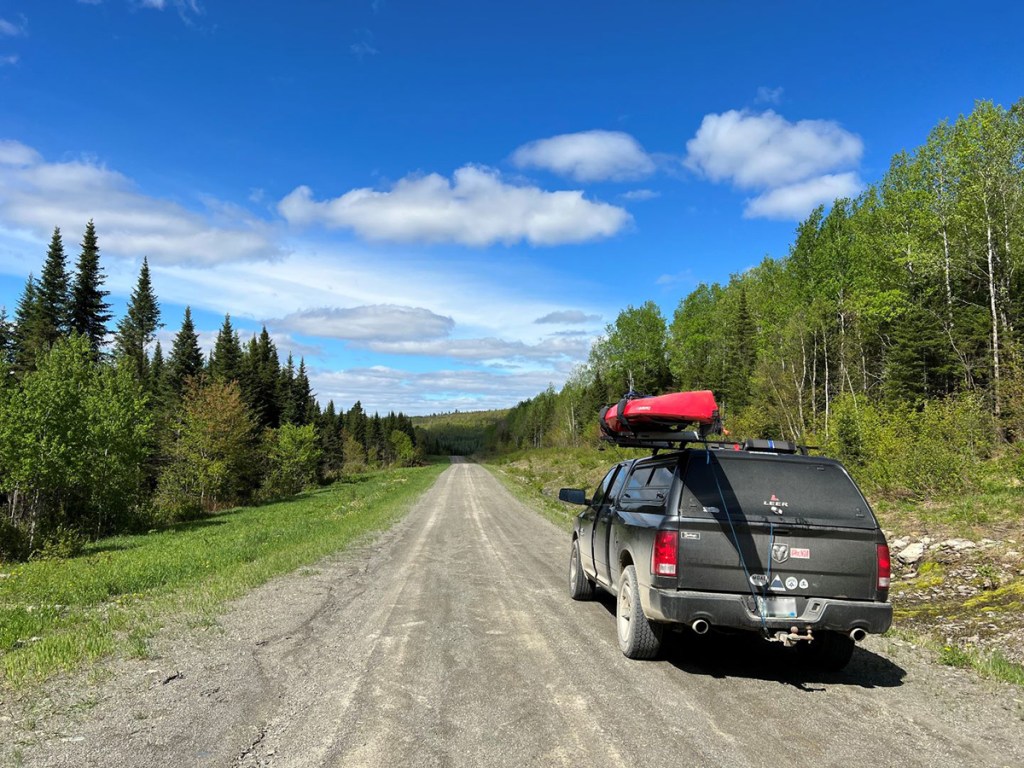
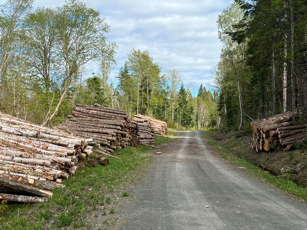
Bring your hiking gear, camping equipment and paddling outfit to best explore this gem. Come very well prepared, as services are nonexistent, and help is a long way off. To get to the Allagash Wilderness Waterway, you must pass through the North Maine Woods, a consortium of public and private landowners that manages access to 3.5 million acres of working forest in northern Maine. At checkpoints, fees are charged for day use and camping (cash or check only).
Visit the Maine Bureau of Parks and Land and North Maine Woods online for a wealth of information essential for planning your adventure. Bring your Maine Atlas & Gazetteer, too.
Carey Kish of Mount Desert Island is the author of “Beer Hiking New England,” “AMC’s Best Day Hikes Along the Maine Coast” and the “AMC Maine Mountain Guide.” Follow more of Carey’s adventures on Facebook and on Instagram @careykish
Send questions/comments to the editors.





Comments are no longer available on this story