

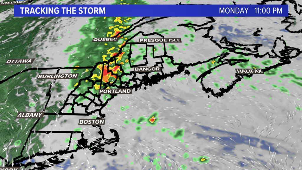
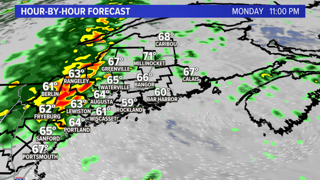
The heavy rain that is moving into the Northeast will set a bull’s-eye on northern New Hampshire and western Maine from Monday night into early Tuesday. Several inches of rain are expected to fall in a short time, likely leading to flash flooding.
A stationary weather system is parked over the mid-Atlantic states. This will be the focus mechanism for heavy rainfall to start the workweek in northern New England.
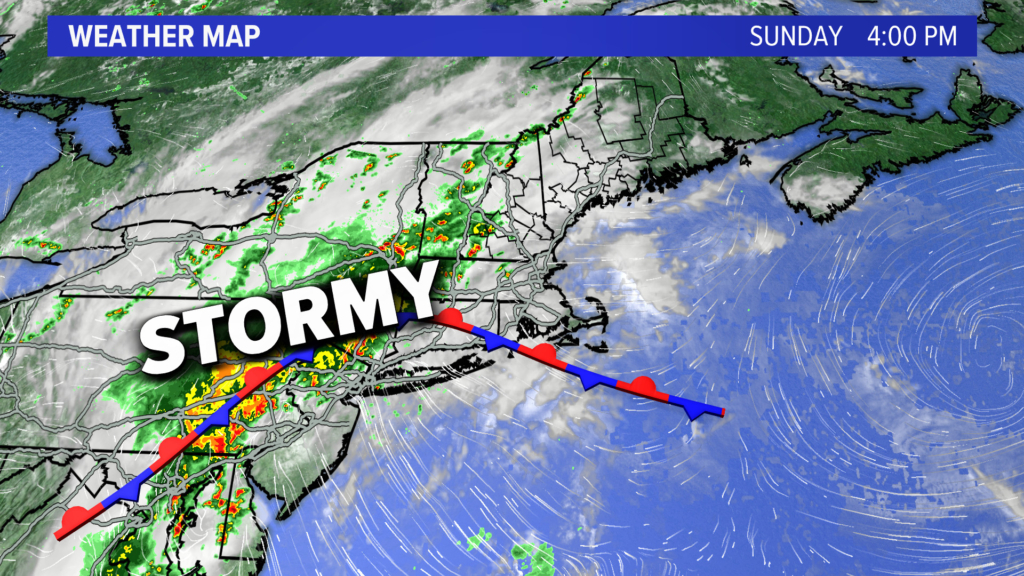
Look for an area of low pressure to ride over the stationary front Monday into early Tuesday, sparking torrential downpours in western Maine and northern New Hampshire.
Future rainfall estimates have more than 5 inches of rain falling in a short amount of time for parts of the target area mentioned earlier.
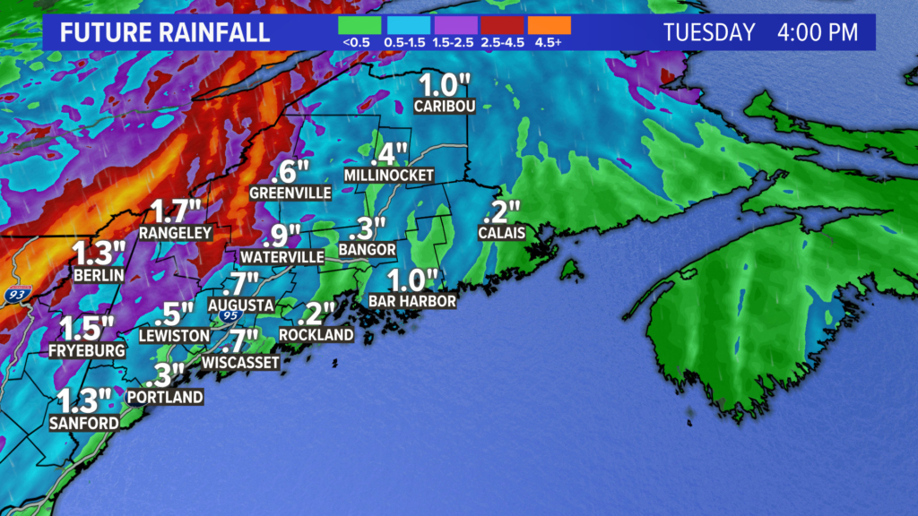
That amount of rain on saturated ground will likely cause significant flooding issues Monday night and Tuesday during the runoff period.
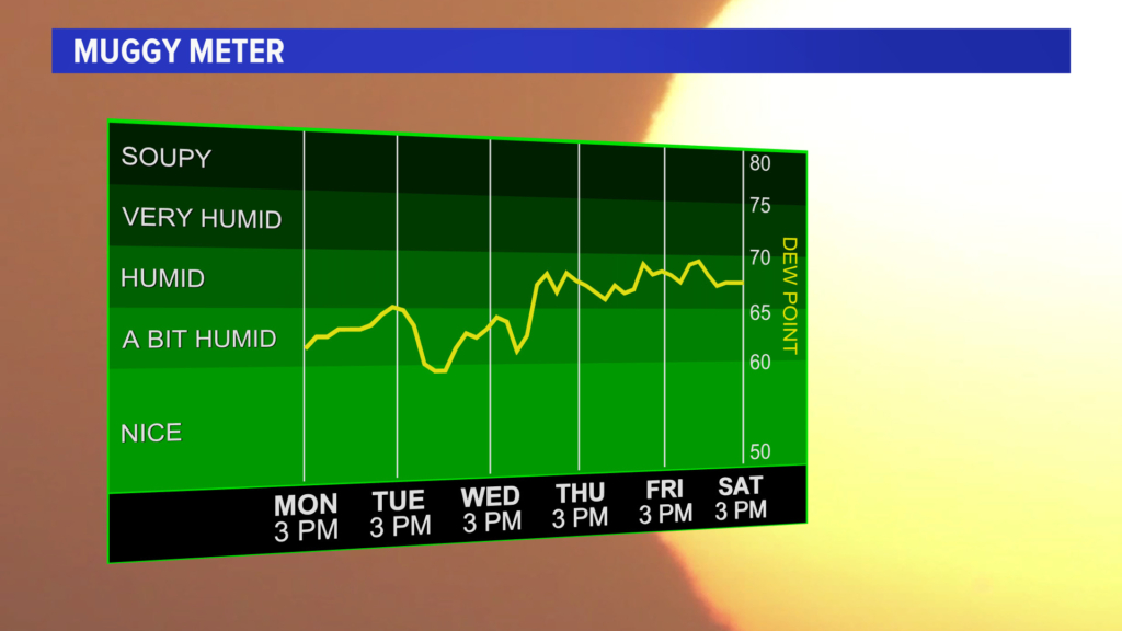
Of note: The rain will end Tuesday as the sun comes out, but the humidity will ramp back up by mid- to late week, with another stormy pattern for the upcoming weekend.
 Copy the Story Link
Send questions/comments to the editors.
