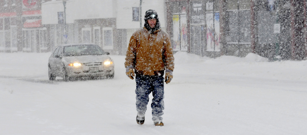
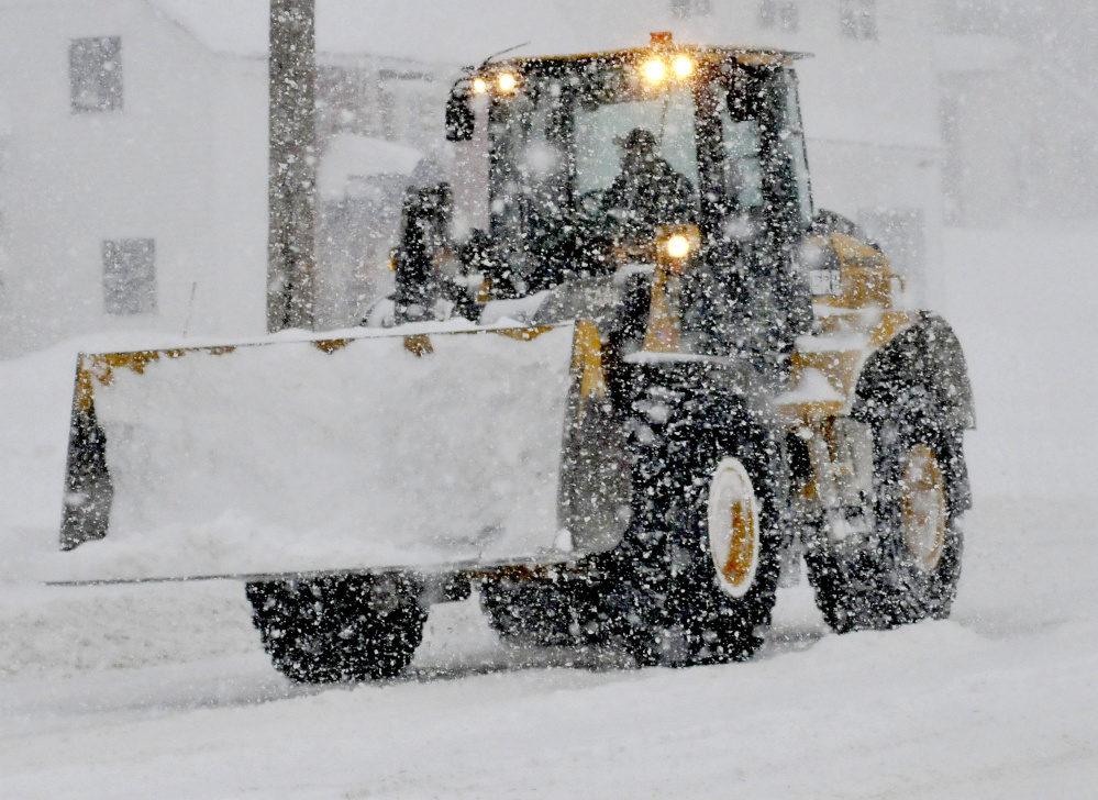
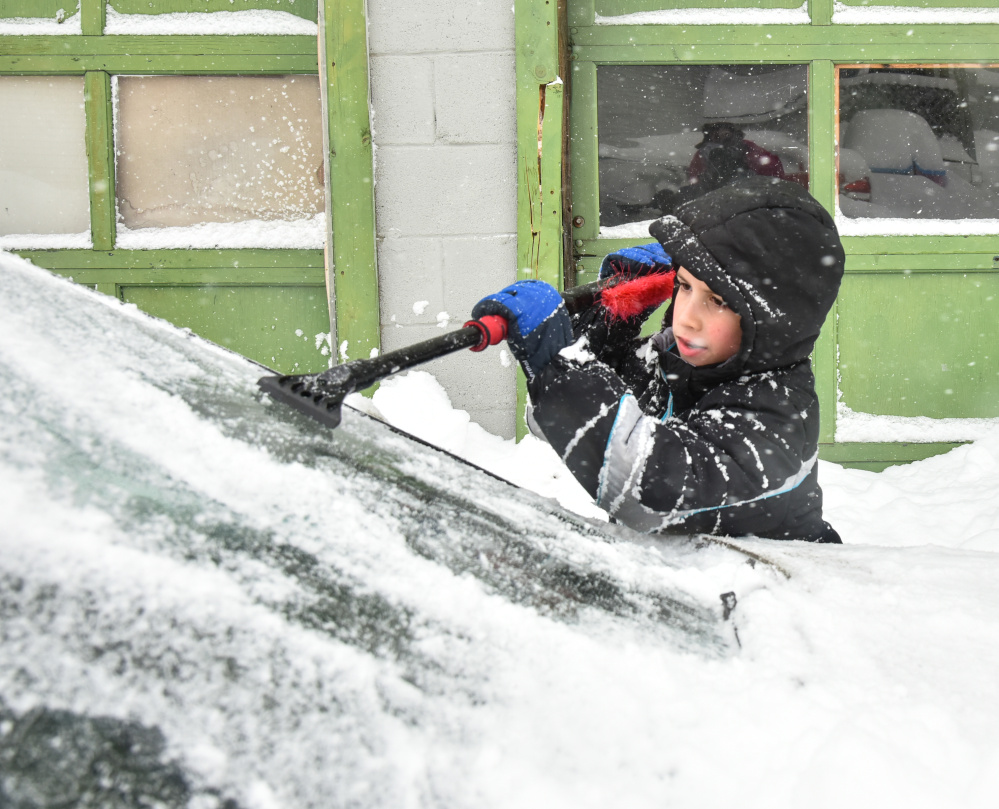
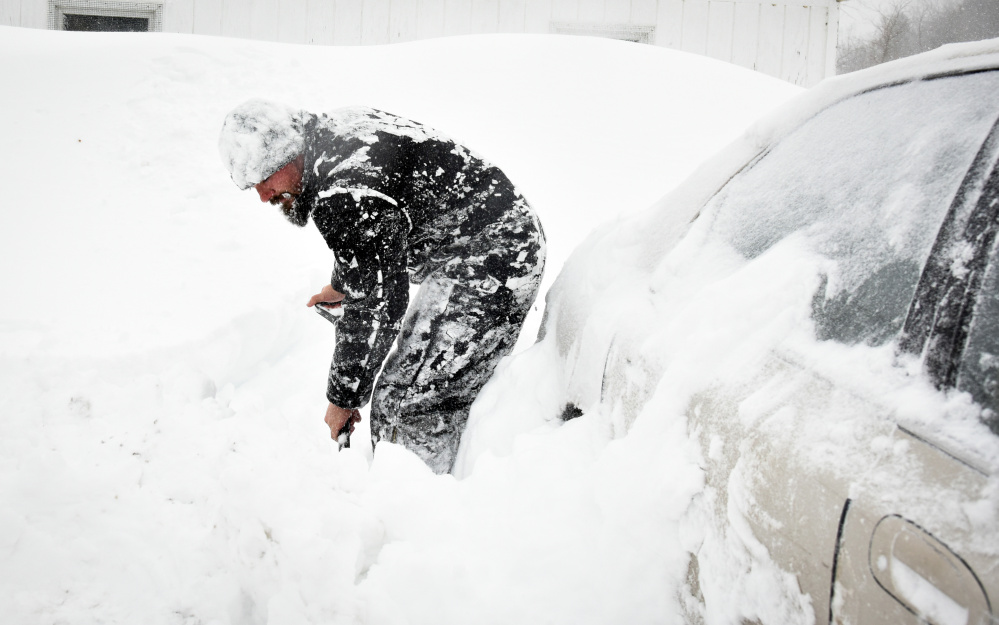
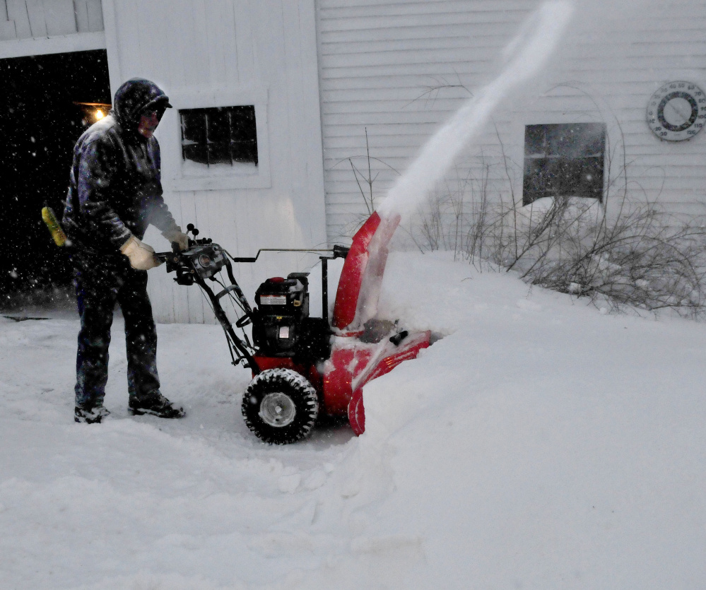
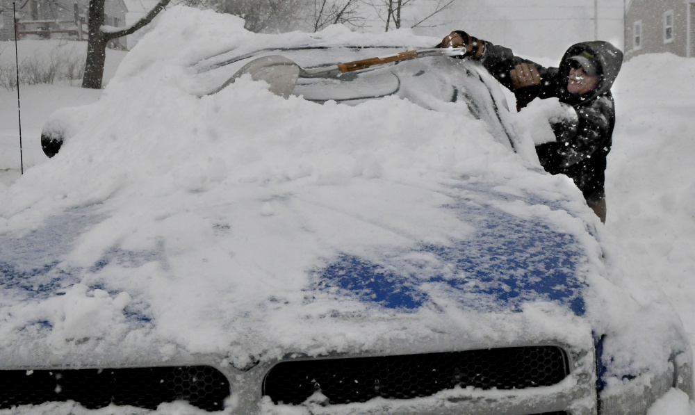
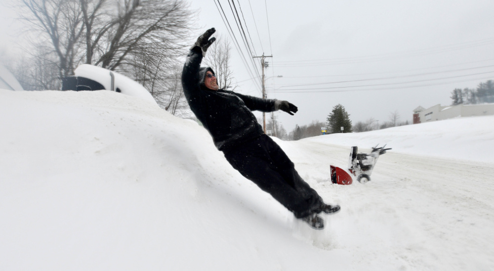
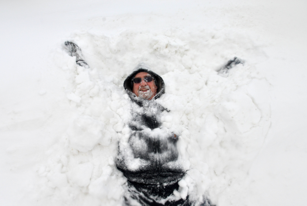
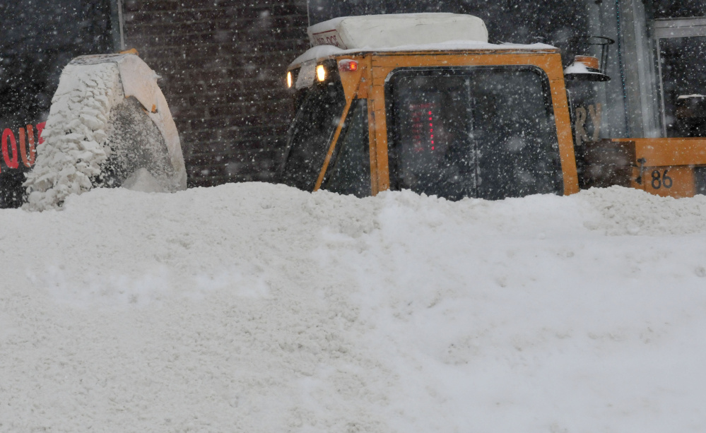
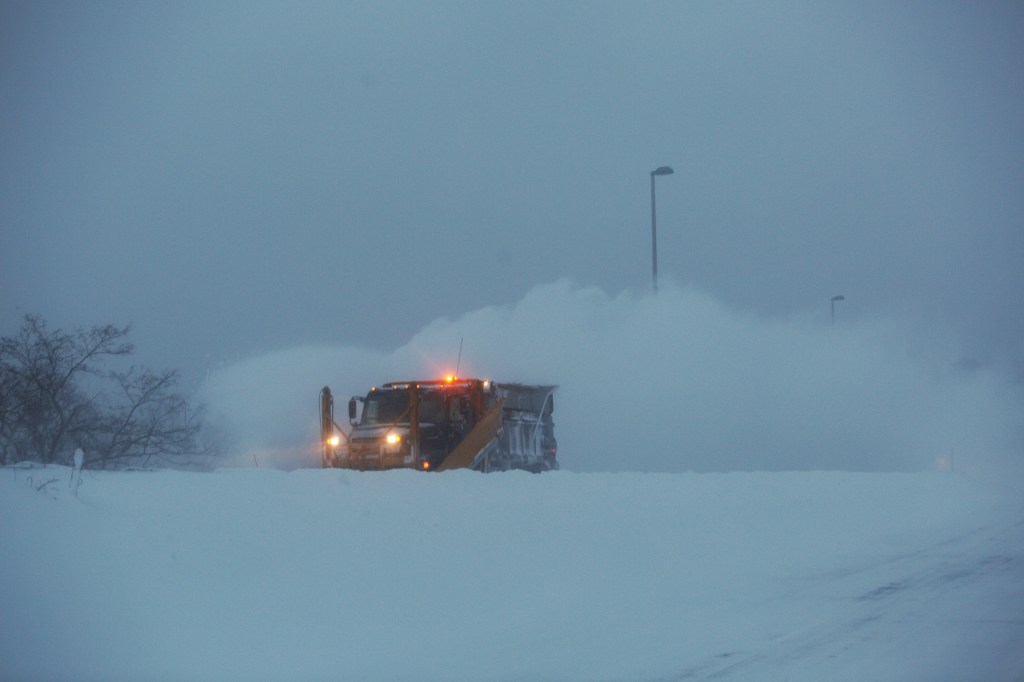
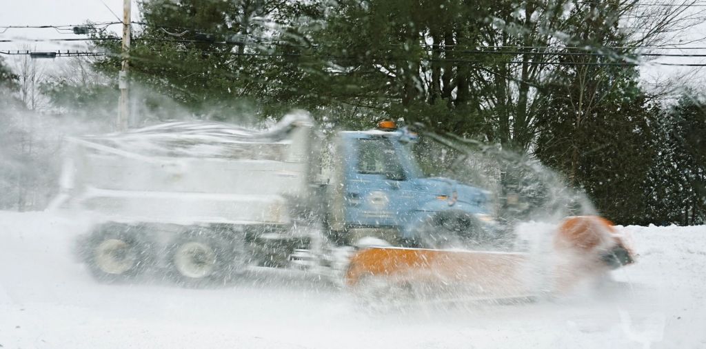
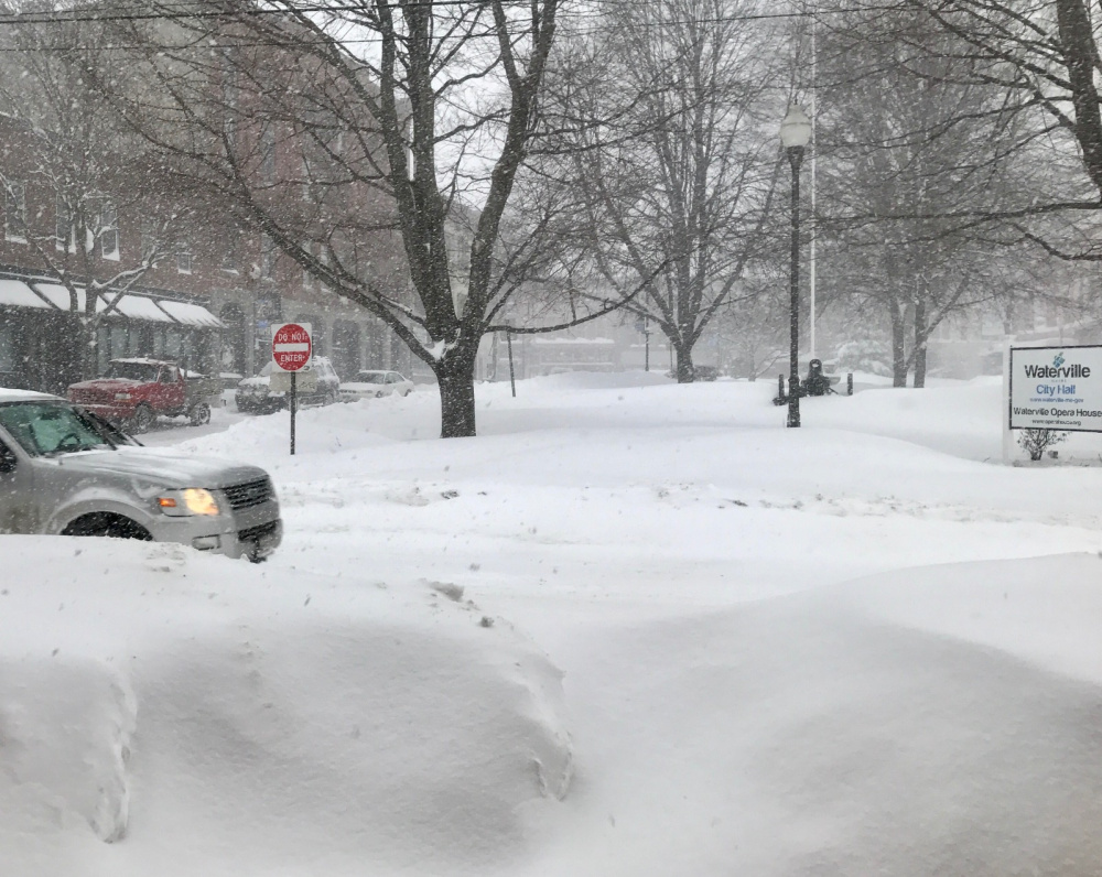
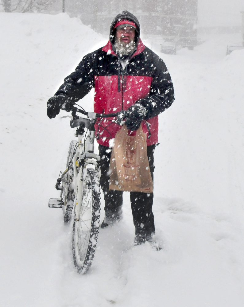
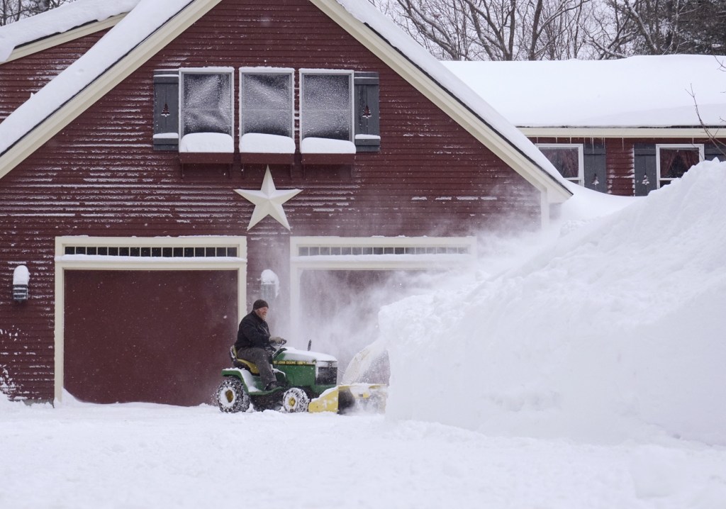
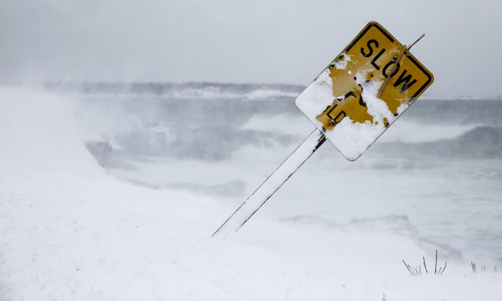
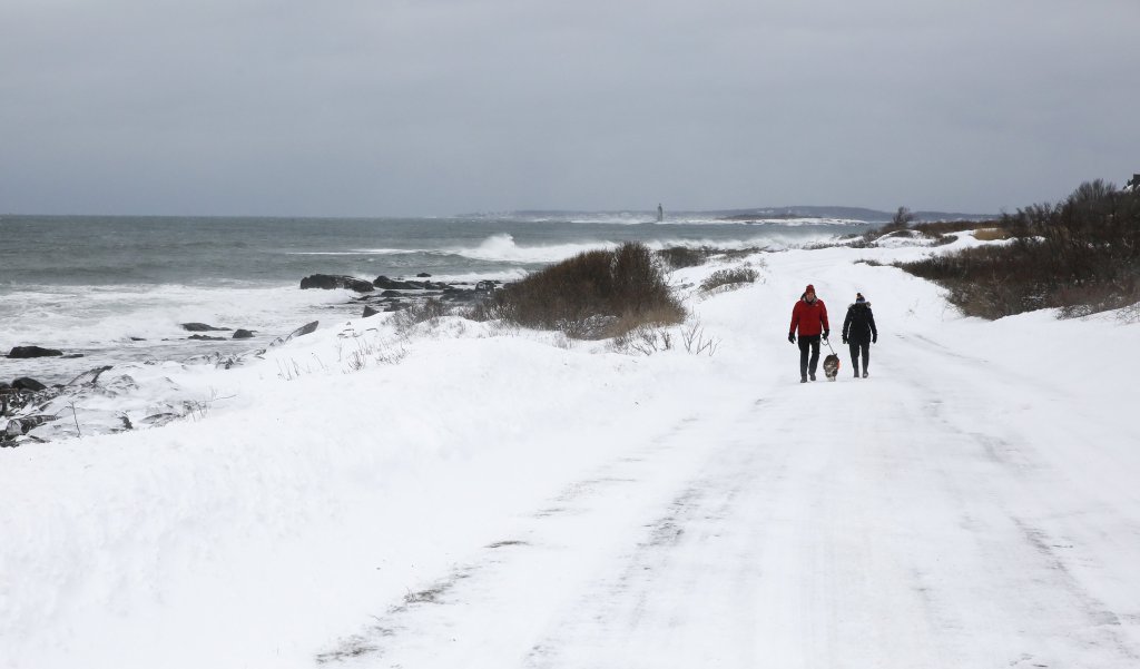
Central Mainers are digging out from a powerful winter storm that unleashed blizzard conditions across the region on Monday, as strong winds and heavy bands of snow shut down some roads and kept plow truck drivers, tow trucks and emergency responders busy.
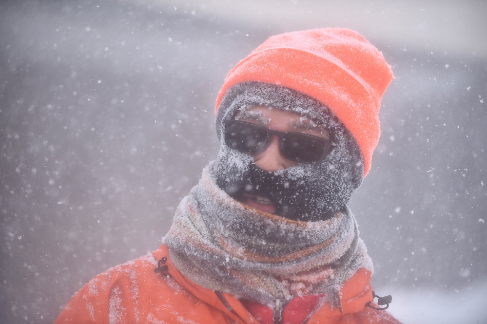
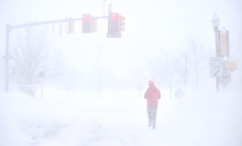
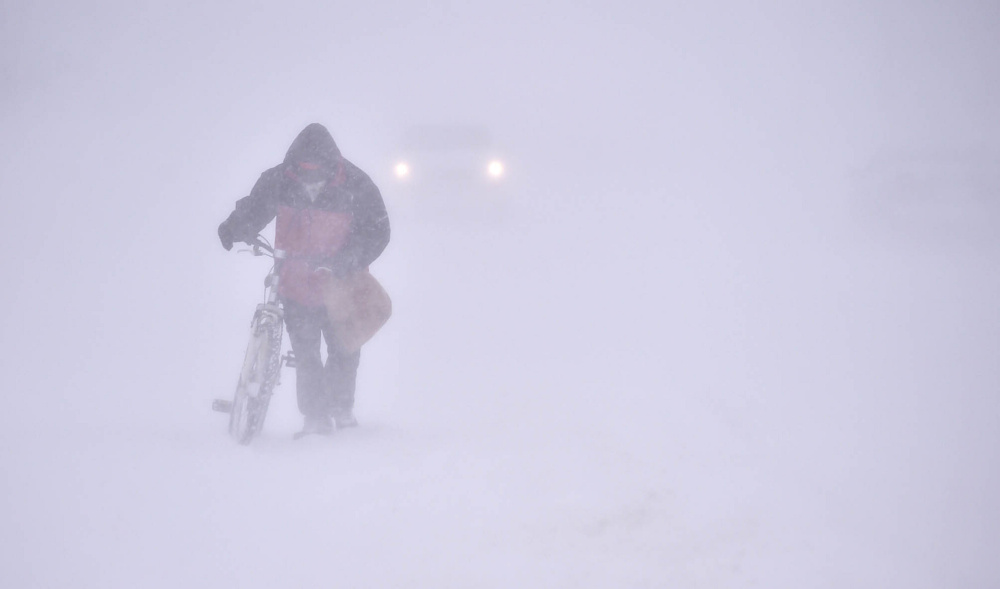
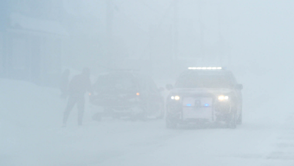
Some parts of the state — including central Maine — experienced blizzard conditions with a visibility of less than a quarter-mile and sustained winds of 35 mph or more.
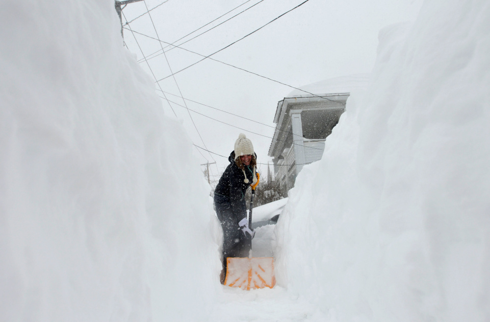
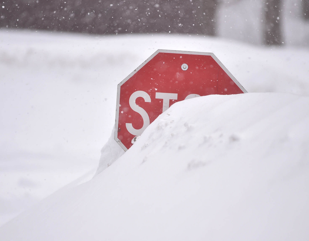
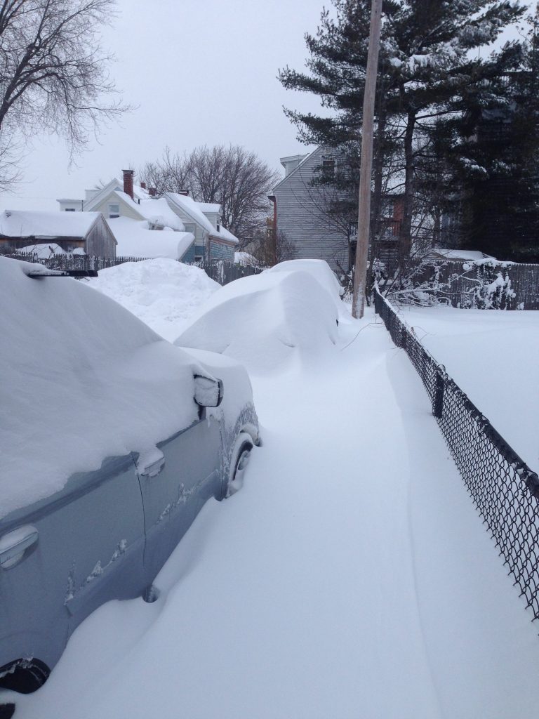
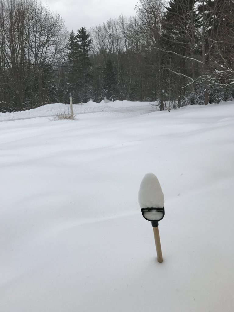
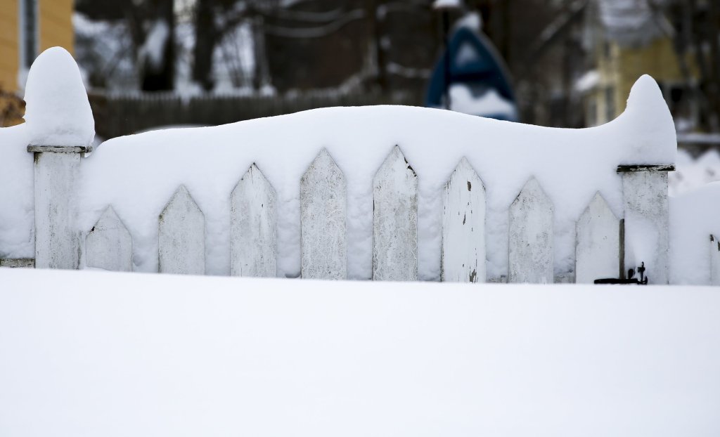
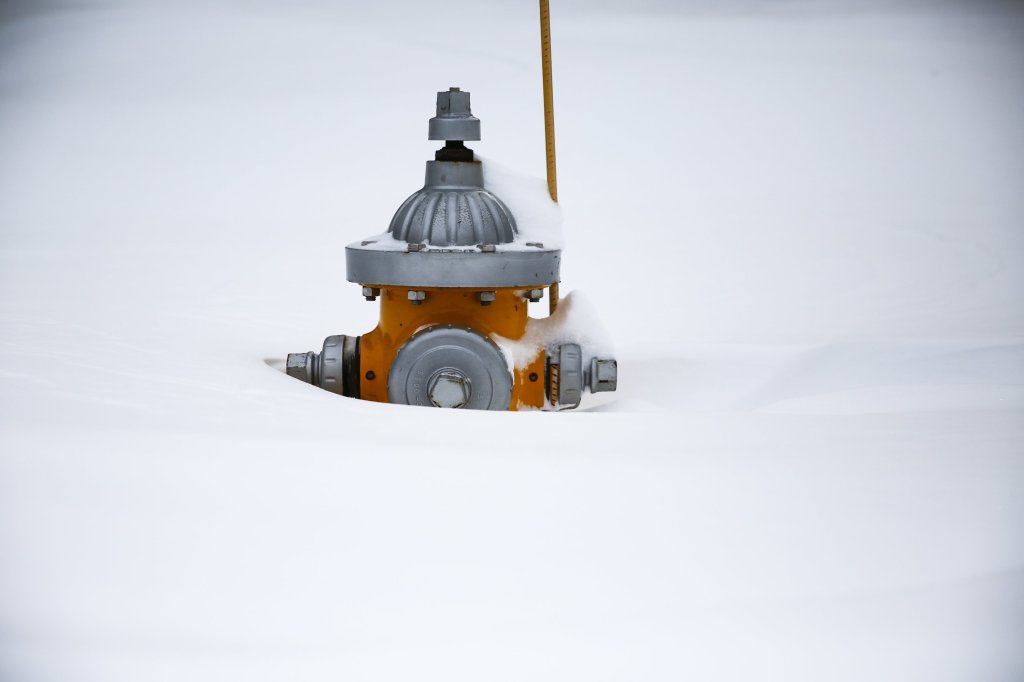
About 2 feet of snow had fallen in several spots in the Augusta-Waterville area by Monday afternoon as the storm wound down, according to the National Weather Service. The snow was even higher in some spots where wind drifts created towering white blockades.
It’s “an old fashioned Maine blizzard,” said Lt. Mark Brooks, commander of Maine State Police Troop C Barracks in Skowhegan.
The powerful storm, which began Sunday evening and intensified into a relentless blizzard Monday morning, forced the closure of hundreds of schools and businesses throughout the state, plus municipal and state offices.
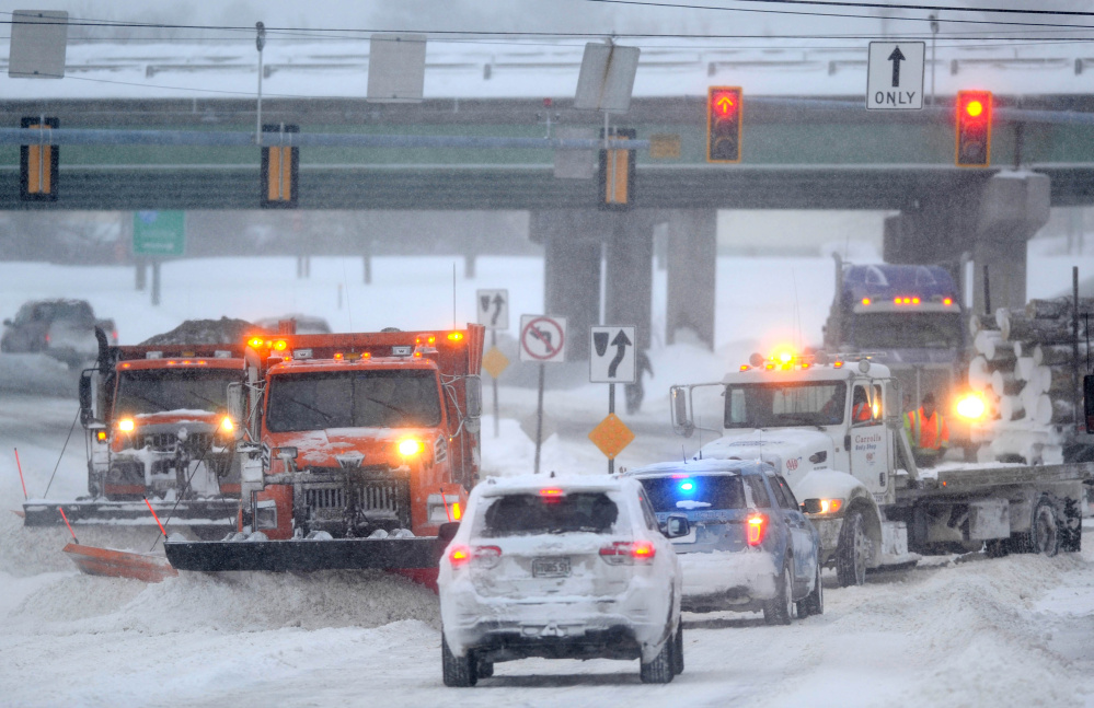
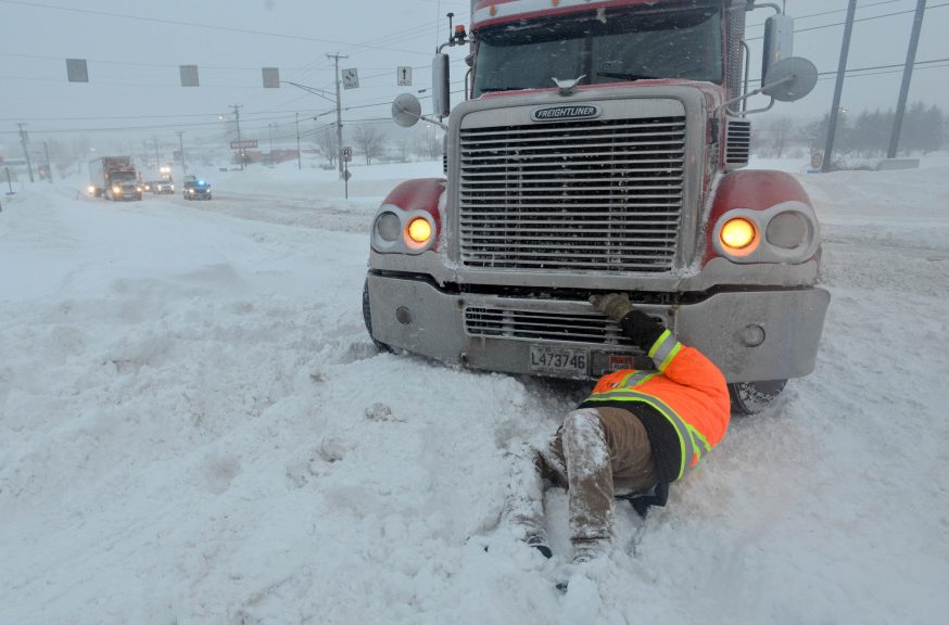
By midday Monday, Maine State Police asked tractor-trailer drivers to stay off the interstate because multiple crashes across the state were blocking roadways and ramps. Both on- and off-ramps for exit 127 in Waterville and 133 in Fairfield were blocked much of the day Monday by tractor-trailers that got stuck, and high snow drifts across Route 201 in Fairfield stopped traffic as well.
All flights were grounded at the Portland International Jetport, while many communities called for parking bans and suspended garbage service. School closures for AOS 92, which serves Waterville, Winslow and Vassalboro, have been extended to include Tuesday. The speed limit was reduced to 45 mph on the Maine Turnpike.
Central Maine Power was reporting just above 1,200 outages at 2:35 p.m., primarily in Norridgewock, South Thomaston and Islesboro, but that number came down to about 200 by the evening hours.
‘THIS WAS A BIG ONE’
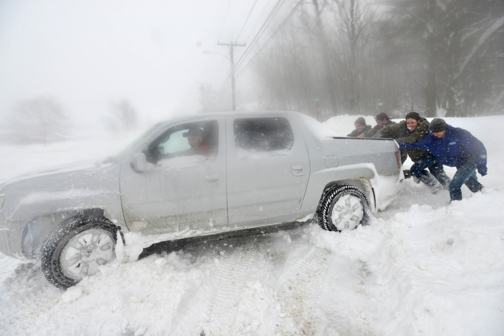
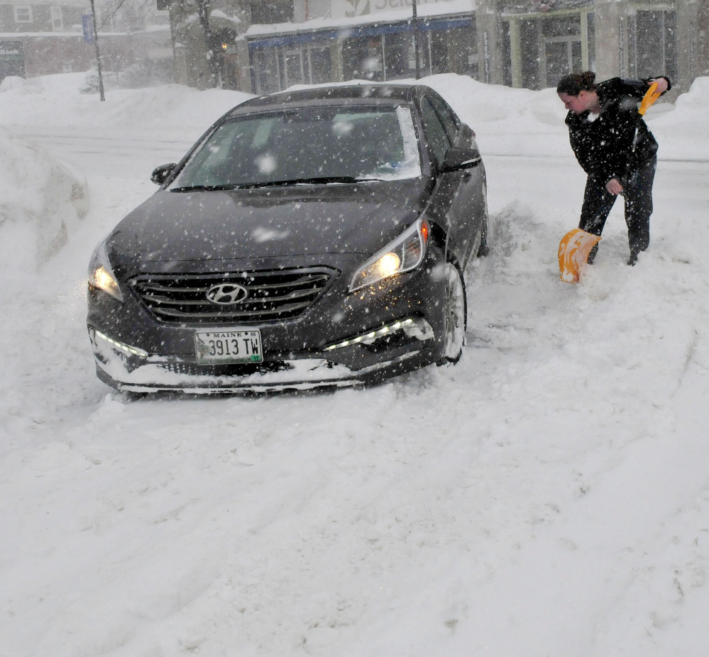
Local and state police urged people to stay off the roads unless absolutely necessary on Monday, and most seemed to heed that call. Even so, Maine State Police were still busy, saying a Facebook post that dozens of vehicles had gone off the road “and even plow trucks and cruisers are getting stuck.”
Ted Talbot, spokesman for the Maine Department of Transportation, said Monday afternoon that in certain parts of the state visibility on roads was “really zero.”
Most of central Maine was expected to get 18-24 inches in total.
As of 2 p.m., 23.3 inches of snow had been recorded in Waterville; 20.3 inches in Mt. Vernon; 24 inches in Vassalboro; and 19.5 inches in Whitefield, according to data from the National Weather Service.
Starks, in Somerset County, appeared to be recording one of the highest totals with 24.5 inches, according to the weather service.
Julie White, who was the Starks fire chief for about seven years and a call firefighter up until two years ago, said the 24-inch amount seemed about right at about 1:30 p.m. Monday, but it was still snowing — and blowing.
White, 56, a resident of Starks for 28 years, said Monday’s storm was among the biggest she has ever experienced.
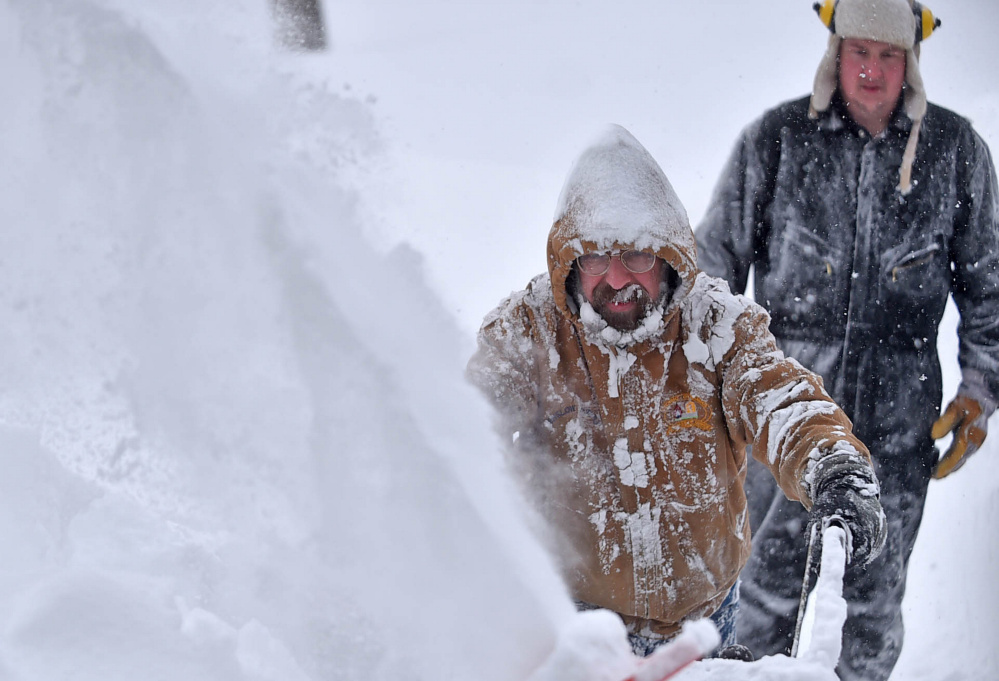
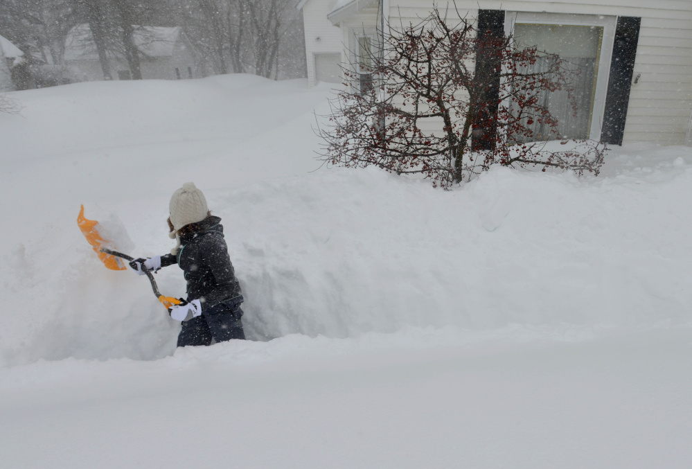
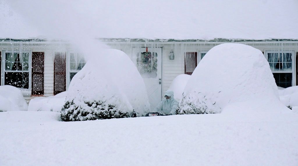
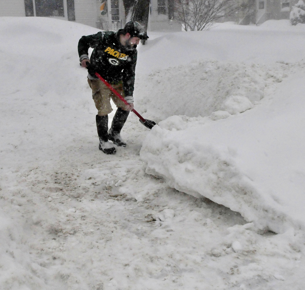
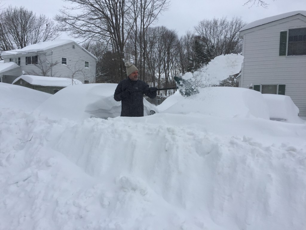
“My son and I were out shoveling the driveway and we both said — he’s going to be 26 this year — we both said that out of the years that we have lived here we’ve never seen the snowbanks as big around our house,” White said. “When we shoveled earlier it was about two feet, and it’s still snowing and the wind’s blowing really hard so it’s really hard to tell because it’s drifted back in. I’d say there’s another four inches on top of it.”
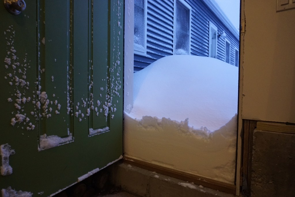
White said there is a drift on a building behind her house on Main Street that is about 6 feet tall. She said she couldn’t open the kitchen door when they tried to go out Monday morning — she had to push to get the snow away from the door.
“I shoveled it so the dog could actually go outside. He didn’t even get off the top step,” she said. “He did his duties on the top step where I shoveled a two-by-two spot for him.”
Mark Huard, of Winslow, a weather watcher and owner of both Huard’s Martial Arts and Central Maine Photography, said Wednesday’s storm developed quickly out in the ocean and rotated back some strong bands throughout the morning and afternoon.
“This was a big one,” he said. “We had great notice all week leading up to it, which was good. They predicted it for quite some time and said we would get one to two feet.”
Huard said 2013 was the last time he saw a storm that netted the Waterville area more than 24 inches of snow. “It was quite a storm,” he said.
A weather watcher for many years, Huard said he thinks people did the right thing by closing businesses and staying off the road during the storm.
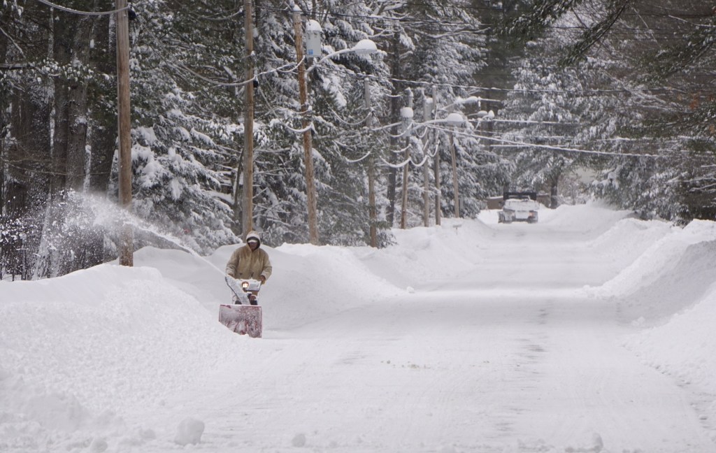
“Now everyone can start digging out,” he said. “More snow coming Wednesday … but not a storm like this one.”
ROAD WOES
While many drivers seemed to have avoided the roads Monday during the storm and that reduced the risk of traffic accidents, Talbot, the Department of Transportation spokesman, warned against “the false sense of security” that some drivers may feel later on.
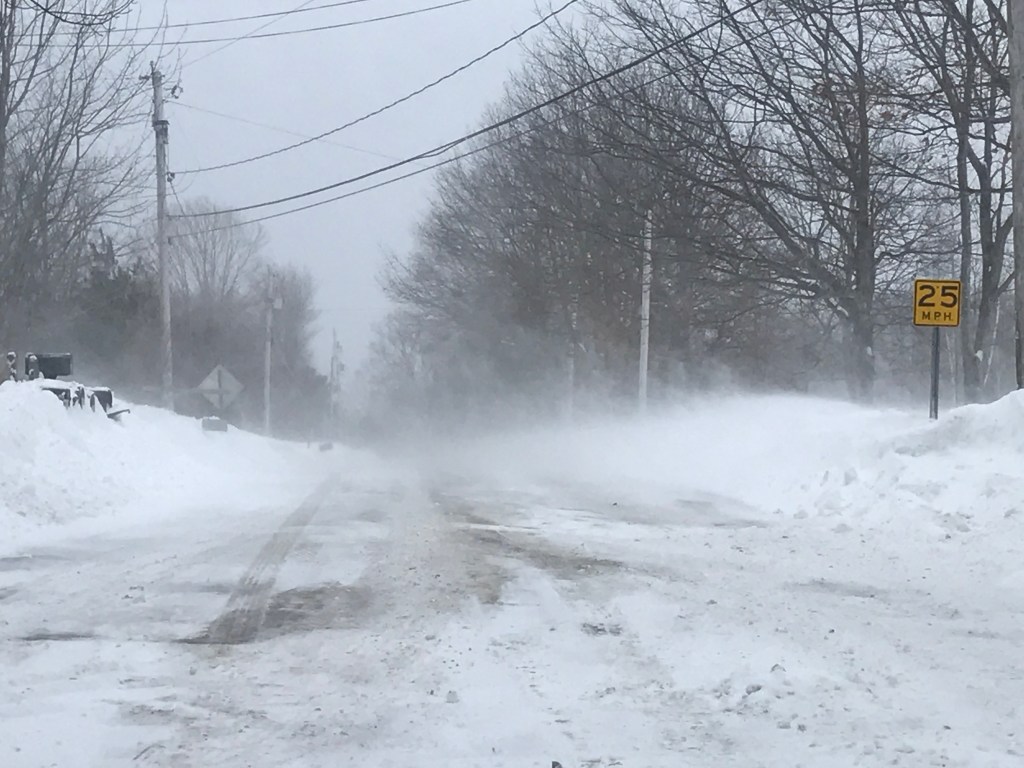
While the snowfall will eventually taper off, Talbot warned Mainers to “not be in the roadway unless it’s an absolute emergency,” as the wind will continue to blow snow into the roadways and create whiteout conditions even after it’s stopped snowing.
In the Midcoast, Down East and Bangor regions, he said that some plow drivers have even had to pull over because visibility is so poor.
“Once the snow stops, we will be battling the blowing and drifting snow,” Talbot said. “We’ll be battling upwards of four-foot drifts … These are really whiteout conditions, even now. We’re continuing to urge people to stay home.”
Several central Maine transportation officials and police officers echoed that advice.
In Skowhegan, Road Commissioner Greg Dore said he measured 15 inches outside the town garage Monday morning as heavy snow continued to fall. He expected another 8-10 inches before it all wound down.
“If the wind picks up, it could become a problem,” Dore said as blowing and drifting snow continued to fill in areas that had already been plowed.
James Ross, chief deputy at the Somerset County Sheriff’s office, agreed with the wind assessment.
“From what I am hearing from the deputies, it’s quiet with very heavy snow and poor visibility,” Ross said. “Traffic seems very light. They are all trying really hard, but if the wind picks up there may be issues.”
Brooks, of the Maine State Police Troop C Barracks, said people have appeared to have heeded warnings to stay home and off the roads Monday.
“Most of the public are in their homes so that has greatly reduced normal Monday morning traffic,” Brooks said in an email. “With many schools, businesses, state government and other organizations canceling their normal operations for today, the number of motorists on the Interstate and on the back roads has been reduced.”
Brooks said state police continue to receive calls for assistance with vehicles sliding off the road with approximately a dozen crashes reported, none with any injuries. Brooks said police in the region continue to ask residents to stay in their homes as traveling is not safe.
“Just as soon as a road is plowed it begins to fill right in again, and with these winds, there are many snow drifts that are not recognizable with all the whiteouts caused by blowing snow.”
Oakland Police Sgt. Tracey Frost said the roads were mostly empty Monday morning, which was “awesome” for them. Even so, the snowbanks are another problem they have to deal with, he said. According to Frost, ” they’re huge right now,” making it even harder to get around safely.
More snow is predicted Tuesday and according to the National Weather Service forecast office in Gray, another 3-7 inches is predicted for Wednesday.
Staff writers Madeline St. Amour, Charlie Eichacker, Doug Harlow and Amy Calder contributed to this report.
Send questions/comments to the editors.






Comments are no longer available on this story