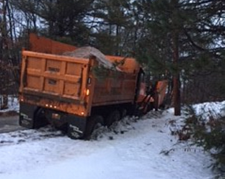
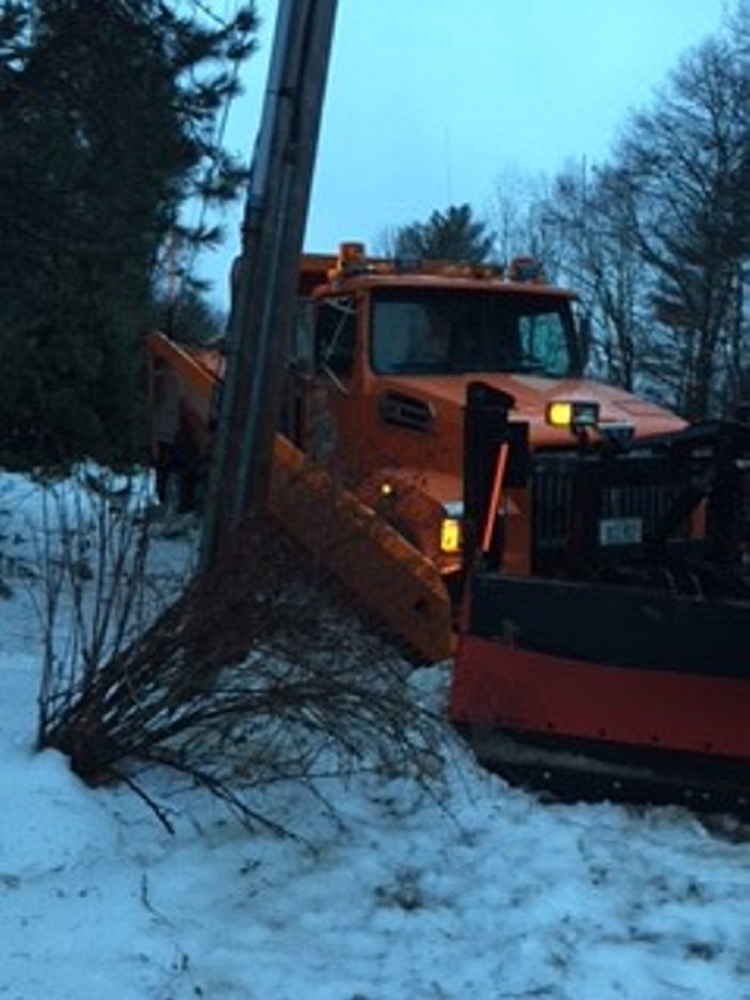
WATERVILLE — Three city public works trucks went off the road late Monday night and into Tuesday morning as a result of icy conditions.
Public Works Director Mark Turner said crews were out for nearly 12 hours pouring sand and salt onto the roads, as sleet and freezing rain, mixed with cold temperatures, created difficult driving conditions. He said they poured about 500 yards of sand and nearly 200 tons of salt from 9 p.m. until sometime after 8 a.m.
“We were expecting a three-hour call in and we were there all night,” Turner said.
Due to the poor conditions, Turner said three trucks went off the road. One was turning onto Gilman Street, where Turner said the driver found a vehicle stuck in the road, so the truck driver had to stop. Once the other vehicle turned around and drove away, the driver attempted to start moving the truck again, but spun around and slid backwards. The truck ended up in a residential driveway and damaged the rear end of a parked SUV. No one was injured, and an accident report was filed with police.
“It was very, very slippery all night, it was difficult for everybody out there,” Turner said.
Two other vehicles went off the road as well, but resulted in no other property damage. One truck went off the road on Country Way last night, and another Tuesday morning at the Quarry Road recreation area. Turner said they were able to pull all the trucks back out, and none were damaged. But he said they had to delay pulling the trucks out immediately, because they had to keep sanding the roads. He said sanding the roads was “a priority situation.”
“The trucks were having a hard time getting traction with sand,” Turner said, adding that just an hour after pouring sand, the roads were glazed over with ice again.
He said while it usually takes about two and a half hours to sand the main streets, pouring sand in Monday night’s travel conditions took roughly six hours. Turner said it was “slow going and very difficult for the operators.”
“Thankfully the primary sanding team stayed on and stayed with it,” Turner said. “I think we did a good job and it required an all night effort.”
Turner said they are now turning their attention to a possible snow storm Thursday night into Friday morning. Eric Sinsabaugh, a meteorologist with the National Weather Service, said a potentially significant amount of snow could fall Thursday evening into Friday morning. He said it will likely begin Thursday afternoon, picking up intensity into the evening. Inland areas could see 6 inches of snow or more, and there could be a foot of snow in the mountains and foothills. The coast could see a mix of rain and snow. Sinsabaugh said the snow will likely be wet, making traveling conditions difficult.
“We are gearing up for that right now at least in the mobilization of the equipment,” Turner said.
Colin Ellis — 861-9253
cellis@centralmaine.com
Twitter: @colinoellis
Comments are not available on this story.
Send questions/comments to the editors.


