The 76 miles of the Appalachian Trail in Georgia traces a northeasterly route through the Chattahoochee National Forest, 800,000 acres of jumbled mountain terrain that ranges across the northern part of the state from the Tennessee and North Carolina borders east to South Carolina.
At 4,461 feet, Blood Mountain is the highest point along the AT in Georgia.
This part of the southern Appalachians is known as the Blue Ridge Mountains, and from outlooks along the trail it’s easy to see how they got their name, with beautiful blue-hued mountaintops stretching off into the distance one after another as far as the eye can see. Much of the AT in Georgia lies in the 3,000-4,000-foot elevation range, and follows the winding and often narrow crest of the Tennessee Valley Divide.
The Appalachian Trail officially starts atop 3,782-foot Springer Mountain. A nine-mile approach trail connects to the peak from Amicalola Falls State Park, and that is where my journey began on March 18, a beautiful late winter day just perfect for hiking. Around 11 a.m. I registered at the park visitor center, the 538th hiker intent on hiking northbound to Maine to do so since the first day of January (more than 1,200 hikers would register by the end of March).
That first day’s walk took me eight miles to a shelter at Black Gap, and by 10 the next morning, in a cold rain, I was on top of Springer at the bronze plaques and the first of thousands of white blazes marking the trail. My second AT thru-hike had begun, some 38 years after the first, and for 10 glorious days through Georgia I enjoyed a wave of nostalgia.
I had lots of company during those early days on the AT, hikers with trail names like Giggles, Woodstock, Young Guns, Jamaica, Drop Bear, Low Tech, Wild Turkey and Mr. Don, folks from around the U.S. and a few from other parts of the globe. I’m told there are at least 30 Mainers on the trail so far this year. I started the hike with Hobbit as my trail name but that morphed into Beerman; more on that down the trail.
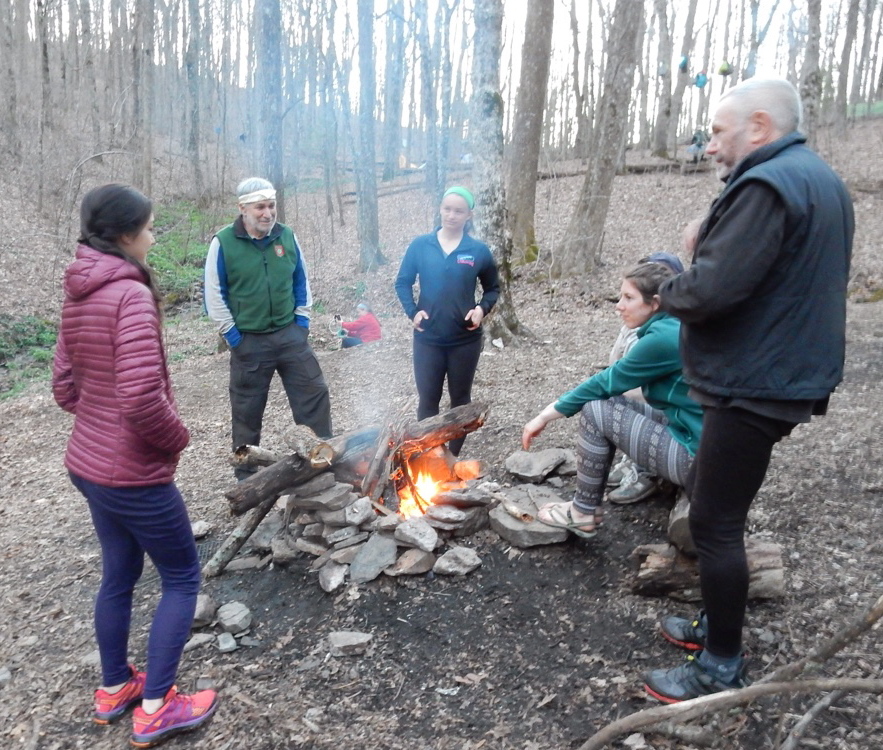
Georgia is a shakedown for most hikers, a time to get in shape and get used to the trail, so the daily distance tally is low, usually eight to 12 miles. Most everyone makes the three-sided shelters their home at night, staying in the shelter or tenting nearby. The company of others, privies and a reliable water source draw people to these sites. Those looking for more solitude opt for numerous unofficial campsites in between.
Days on the trail are long and hard, and hikers are in bed by dark, if not before. “Hiker midnight” is a term bandied about at shelters; it refers to sundown, which in March in Georgia is around 8 p.m. It’s not unusual to sleep 12 or more hours.
Water is gathered mostly from springs, but there are streams as well. I’m probably one of the few hikers who has rarely treated my water with chemical drops or by filtering. To me, water right out of the earth is the nectar of the gods and as good as it gets. I’ll treat my water more often when sources get sketchy farther north.
A couple of outfitter/hostel operations, at Neels Gap and Dicks Creek Gap, make enticing semi-civilized waysides. Both offer pack shakedowns, just the thing for the many novice hikers out here. I’ve seen folks completely re-outfit themselves with lighter gear and send a small mountain of unnecessary stuff home.
“Trail magic” at four road crossings has included cold beer and soda, hamburgers and hot dogs, and other goodies, kindly provided by enthusiastic former thru-hikers.
Carey Kish of Southwest Harbor is the author of “AMC’s Best Day Hikes Along the Maine Coast.” Follow Carey’s AT thru-hike in his Maineiac Outdoors blog at:
mainetoday.com/blog/maineiac-outdoors
Send questions/comments to the editors.


Comments are no longer available on this story