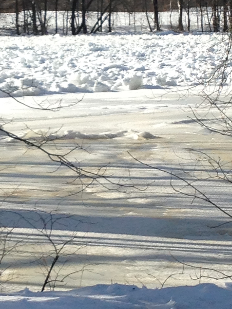
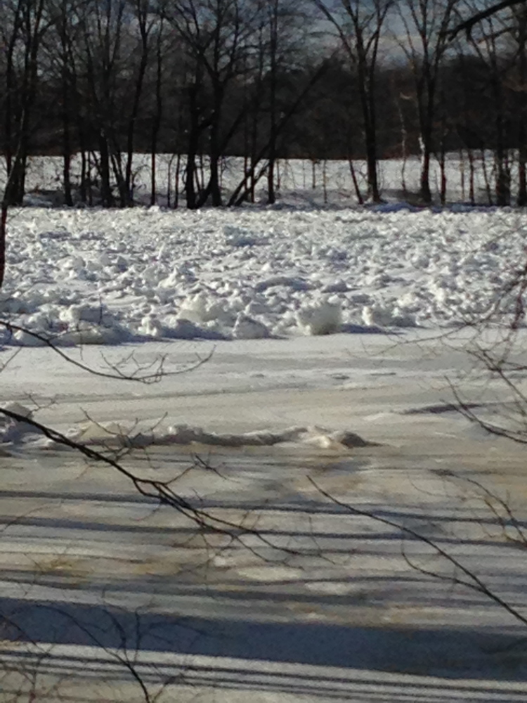
MADISON — County officials and the National Weather Service are keeping an eye on an ice jam in the Kennebec River that could cause severe flooding in a few weeks as the weather gets warmer.
“We’re watching it closely,” said Mike Smith, emergency management director for Somerset County. “Obviously with the snow pack that we have, it does raise a concern that we’re watching very closely.”
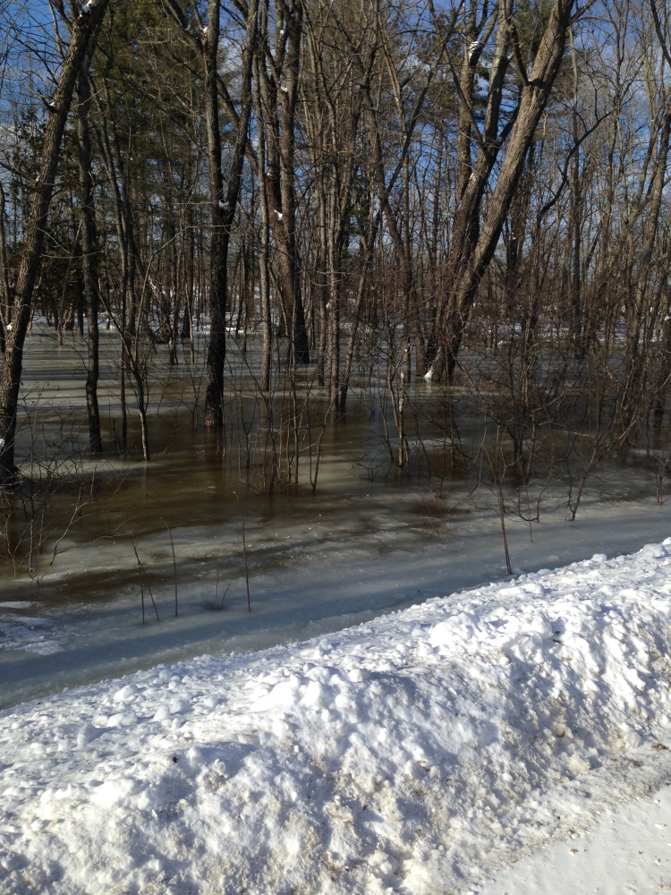
In late January the jam, located near the point where the Carrabassett River flows into the Kennebec, caused several inches of flooding in the area leading up to River Road near Backyard Farms, he said. Since then, the temperature has dropped and slowed the flow of any runoff, but there is a concern that warmer weather will cause increased runoff, and rain will bring more flooding.
The water content of this year’s snowpack is up about 25 percent compared with the average of the last 10 years, according to February’s Maine Cooperative Extension Snow Survey, which collects and interprets information on Maine’s snowpack during the winter. That means that if the snow were to melt, it would result in about 3 to 5 inches of water in most parts of the state with northern Somerset and Franklin counties dealing with the highest water levels, according to a Feb.13 news release from the cooperative extension.
The National Weather Service also is monitoring the jam and will be discussing it next week when it meets with state officials in Augusta for the annual meeting of the Maine River Flow Advisory Commission, said Tom Hawley, a meteorologist for the National Weather Service. The meeting focuses on the potential for severe spring flooding.
“Right now it’s not causing any problems, but it might later in the spring,” Hawley said of the Madison jam. “It’s frozen in place right now, but as runoff increases later in the spring due to melting, that jam could cause some flooding before it lets go.”
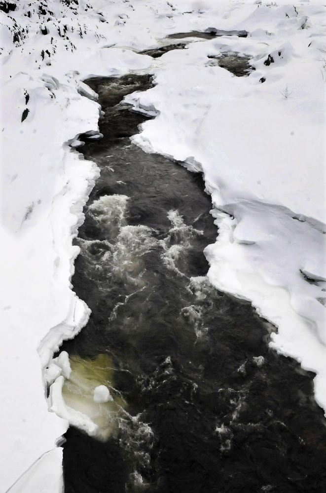
Ice jams form when chunks of ice get caught around islands or bends in a river. As water levels rise, because of rain or runoff, it lifts the chunks of ice and starts carrying them downstream. If the carrying capacity of the stream isn’t able to move the ice, the chunks will continue to build up and cause flooding, Hawley said.
“It’s certainly something we’re going to have to watch. I think the threat of ice jam flooding is growing each day because of the cold weather and all the ice we already have,” he said.
Historically, snowmelt alone has not contributed to significant flooding, according to the cooperative extension release. However, it has been a significant contributor to major flooding in combination with heavy rain, including floods on the Kennebec River in 1987 and on the St. John River in Fort Kent in 2008.
In 2010, an ice jam in Hallowell caused damage to the town’s Kennebec River waterfront and the city boardwalk in Gardiner during a rainstorm that brought about 5 inches of precipitation.
The area is experiencing some of the coldest temperatures of the winter now, but by the second week of March those numbers should start to moderate, Hawley said. “I would suspect sometime in March we’re going to see a melt,” he said. “We just don’t want to see a rapid warm-up and 5 inches of rain. The ideal way to melt the snow and ice would be milder days in the 30s and 40s and cold nights below freezing with little in the way of rainfall.”
Rachel Ohm — 612-2368
Twitter: @rachel_ohm
Send questions/comments to the editors.


Comments are no longer available on this story