In the wild world of winter weather, location is everything, which New York and Massachusetts learned too well Tuesday.
Small last-minute changes in the air morphed what was supposed to be crippling feet of snow into a handful of inches, leading one forecaster to apologize, the National Weather Service boss to get defensive, politicians to explain themselves and some Northeast residents wondering where the much-hyped snow went.
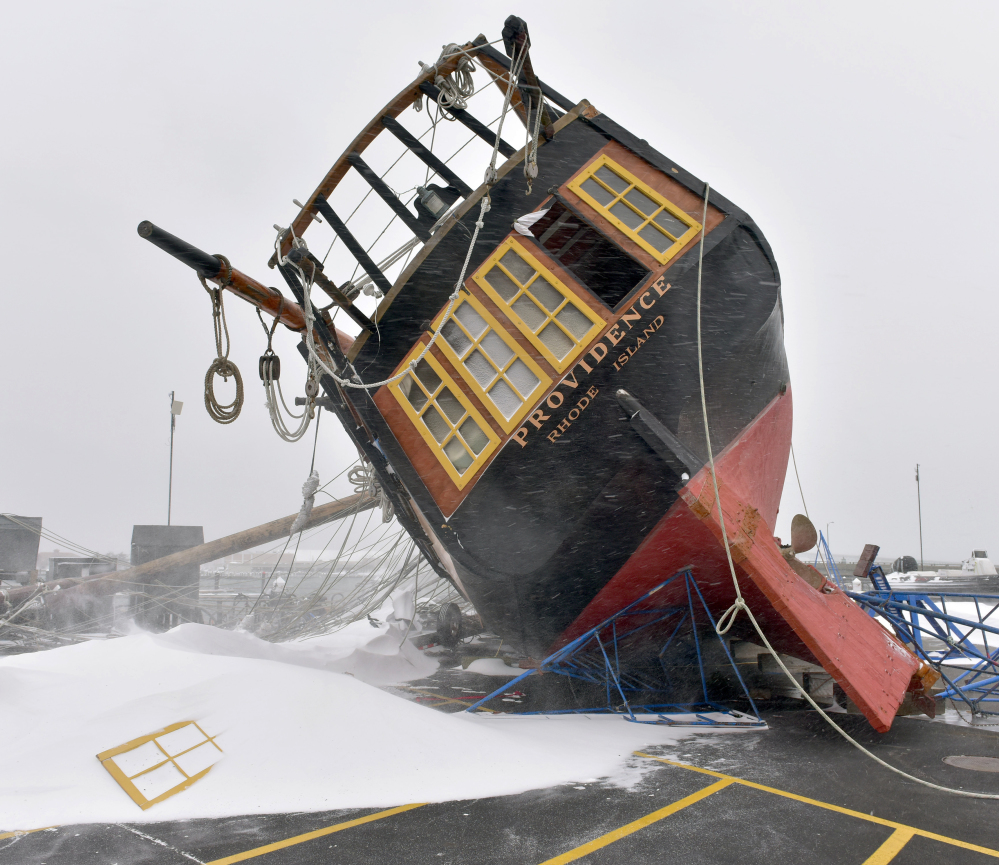
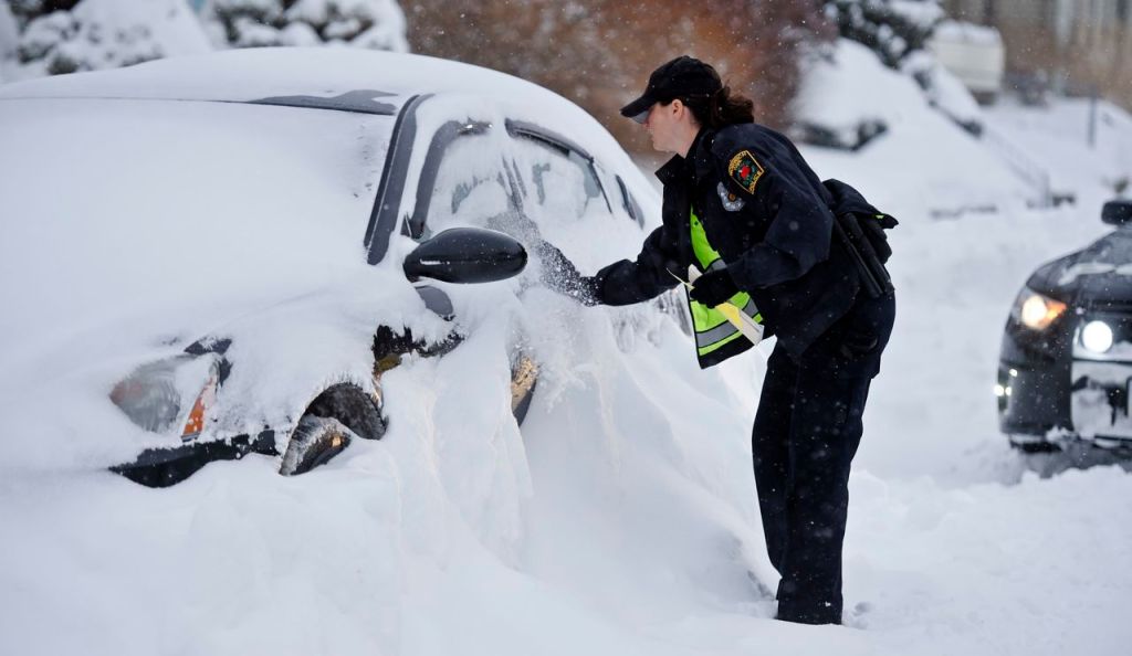
The not-so-great blizzard of 2015 did wallop the Northeast: Long Island and Massachusetts got hammered with more than 2 feet of snow. Auburn, Massachusetts, received 32 inches and there was severe coastal flooding, said National Weather Service Director Louis Uccellini.
But snowfall in the self-absorbed media capital of New York City, shut down in advance, was under one foot. New Jersey and Philadelphia also were spared.
FORECASTS HAD TOO MUCH CERTAINTY
In a conference call with reporters Tuesday, a defensive Uccellini, who wrote textbooks on winter storms, wouldn’t acknowledge that his agency’s forecast was off, saying parts were good and parts were bad. Instead, he blamed the way meteorologists told people about what was coming and said the weather service needs to do a better job of communicating uncertainty.
Private meteorologist Ryan Maue of Weather Bell Analytics slammed the public agency for ratcheting up forecast storm amounts before the system arrived, instead of telling people how uncertain it was.
“The public should be upset that the forecast was blown for NYC and ask for answers,” he said in an email.
Uccellini said the agency would review those procedures and consult with social scientists to improve messaging.
But Uccellini said he’d rather warn too much and be wrong, than not warn enough. He said the weather service’s predictions and citywide closures that they prompted made for a faster recovery.
“This was the right forecast decision to make,” Uccellini said.
Meteorologists say the nor’easter strayed about 75 to 100 miles east of its predicted track, which meant the western edge – New York and New Jersey – got 10 inches less than forecast.
“That miss occurred in the most populous corridor in the nation,” said David Robinson, director of the Rutgers Global Snow Lab and New Jersey’s state climatologist. “Had it been between Albany and Syracuse, not to disparage them, no one would have made much of this.”
The region girded for something historic but got much less.
“I expected tons of snow,” said New York cabaret singer Susanne Payot, walking through Central Park with her home-from-school daughters and their golden retriever, Alvin. “This is nothing. I don’t understand why the whole city shut down because of this.”
Before heavy snows began falling, officials shut down roads and public transportation across New York City, in New Jersey and on Long Island. Amtrak suspended train service and air traffic slowed to a stop. Schools along the East Coast canceled Tuesday classes.
NO APOLOGIES, AND AN APOLOGY
New Jersey Gov. Chris Christie defended his decision to ban travel on all state roads.
“I was being told as late as 9 o’clock last night that we were looking at 20-inch accumulations in most of New Jersey. If, in fact, that is what would have happened, having these types of things in effect were absolutely the right decision to make,” Christie told WABC-TV on Tuesday. “We were acting based on what we were being told.”
Irwin Redlener, the director of Columbia University’s National Center for Disaster Preparedness and an unpaid adviser to New York Mayor Bill de Blasio, said Tuesday that the way the region came to a halt ahead of the storm was good practice.
“It’s not whether the city should have prepared so much, it’s how people respond,” Redlener said. “We don’t want the population to get so cynical that they’re not heeding the warnings.”
A National Weather Service forecaster in Mount Holly, New Jersey, called a hero of 2012’s Superstorm Sandy, tweeted an apology for the errant forecast.
“You made a lot of tough decisions expecting us to get it right, and we didn’t. Once again, I’m sorry,” wrote Gary Szatkowski.
The storm spun up in the ocean, where there are few monitors to help meteorologists and computer models pinpoint the track, forecasters said. In such a storm, an error of 50 miles “can be a big difference,” said Jeff Masters, meteorology director of the private service Weather Underground.
Late Monday, the computer models started to move the storm more east and away from New York City, but by that time “media and social media hype was out of the bottle,” said University of Georgia meteorology professor Marshall Shepherd.
Meteorologists defended the forecast – to a point.
“It’s just that we didn’t get the western edge of the forecast correct. If you want to call that a bust, I think you’re being a little harsh,” said Masters at the Weather Underground.
Send questions/comments to the editors.


Comments are no longer available on this story